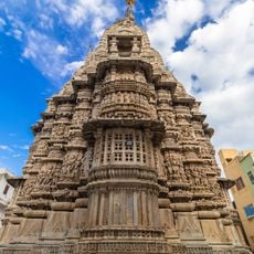
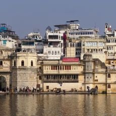
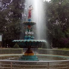
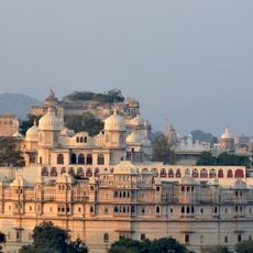
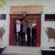
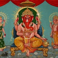
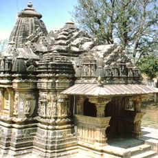
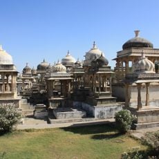
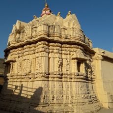
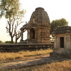
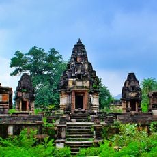
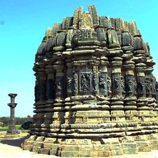
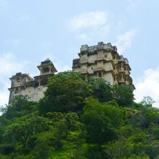
Dungarpur district, Administrative district in southern Rajasthan, India.
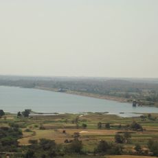
Dungarpur is an administrative district in southern Rajasthan spanning approximately 3,770 square kilometers. The Mahi River flows through the region while the border with Gujarat defines its southern edge.
The region took shape as a separate territory following the Battle of Khanwa in 1527, which split earlier jurisdictions between Dungarpur and Banswara. This division established the boundaries that define the district today.
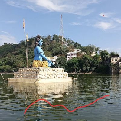
The Bhil people form the majority of the population and continue their traditional ways of life throughout the region. Their language, Wagdi, remains spoken in daily interactions and shapes the local social fabric.
Summers here are very hot with temperatures reaching 40-45 degrees Celsius (104-113 degrees Fahrenheit) from April to June. Winters are mild, with temperatures dropping to around 10-12 degrees Celsius (50-54 degrees Fahrenheit) in January.
Education levels here surpass the national average by a considerable margin, reflecting strong community commitment to schooling. This higher rate of literacy stems from ongoing efforts to expand access to learning throughout the district.
The community of curious travelers
AroundUs brings together thousands of curated places, local tips, and hidden gems, enriched daily by 60,000 contributors worldwide.