Enable Location

We need your location to show you interesting places around you

Discover nearby places

Find interesting locations and hidden gems around you

Precise directions

Get accurate directions and distances to places

Your location is never shared with other users. It's only used when you tap the location button.

Barabanki district

Log in to your account

Start exploring — it's free

Trusted by 62,564 travelers worldwide

Continue with Google
Continue with Apple
or

We will send you a code to connect

By continuing, you accept our Terms and Conditions and our Privacy Policy

Check your inbox

We've sent a pincode in your inbox. Please enter the code below.

Barabanki district

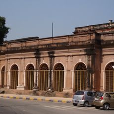
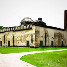
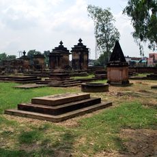
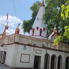
Barabanki district, Administrative district in Ayodhya division, India.

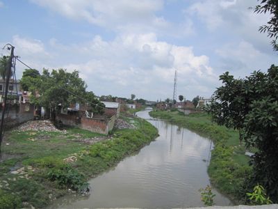
Barabanki is an administrative district in the Ayodhya division, situated between the Ghaghra and Gomti rivers. The area includes eleven development blocks and is divided into five subdivisions to facilitate administration.

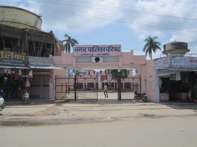
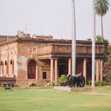
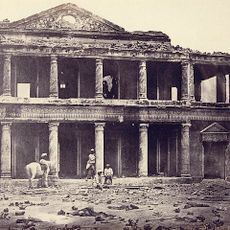
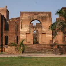
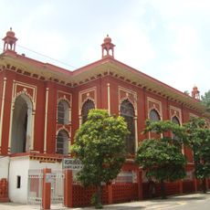
The district was initially called Daryabad until British authorities relocated the administrative center in 1859 and renamed the region. The reorganization followed its incorporation into British territory just three years earlier.

Villages across the area keep farming traditions alive, with families working the land and bringing grain and vegetables to local markets. Daily routines follow seasonal cycles, and festivals mark important moments in the agricultural year.

Each subdivision is managed by a magistrate who makes decisions locally. Travelers can approach local authorities in the larger towns if they need information about the area.

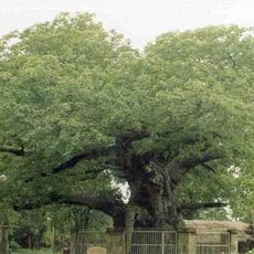
In Kintoor stands an ancient Parijat tree that people say grew from the ashes of the mythological figure Kunti. The legend connects the spot to one of the most well-known stories in the Mahabharata.

The community of curious travelers

AroundUs brings together thousands of curated places, local tips, and hidden gems, enriched daily by 60,000 contributors worldwide.

Start exploring
Location
Capital city
Barabanki
Elevation above the sea
125 m
Shares border with
Sitapur district, Bahraich district, Gonda district
GPS coordinates
26.92000,81.20000
Latest update
December 13, 2025 17:53
« Barabanki district - Administrative district in Ayodhya division, India » is provided by Around Us (aroundus.com). Images and texts are derived from Wikimedia project under a Creative Commons license. You are allowed to copy, distribute, and modify copies of this page, under the conditions set by the license, as long as this note is clearly visible.

Discover hidden gems everywhere you go!

From secret cafés to breathtaking viewpoints, skip the crowded tourist spots and find places that match your style. Our app makes it easy with voice search, smart filtering, route optimization, and insider tips from travelers worldwide. Download now for the complete mobile experience.

Around Us App Screenshot

A unique approach to discovering new places

Le Figaro

All the places worth exploring

France Info

A tailor-made excursion in just a few clicks

20 Minutes

Around Us
Travel Guide & Maps
Download

Send to your phone

QR Code
1

Open the camera app on your mobile.

2

Point at the QR code with your camera. A notification will appear.

3

Tap the notification to open the link.