Enable Location

We need your location to show you interesting places around you

Discover nearby places

Find interesting locations and hidden gems around you

Precise directions

Get accurate directions and distances to places

Your location is never shared with other users. It's only used when you tap the location button.

Log in to your account

Start exploring — it's free

Trusted by 61,514 travelers worldwide

Continue with Google
Continue with Apple
or

We will send you a code to connect

By continuing, you accept our Terms and Conditions and our Privacy Policy

Check your inbox

We've sent a pincode in your inbox. Please enter the code below.

Etah district

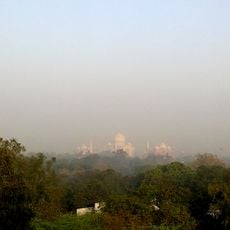
Etah district, Administrative district in Aligarh division, India.

Description

Etah district sits along the Delhi-Kanpur route and spans agricultural land in Uttar Pradesh. The district capital, Etah city, functions as the administrative hub and connects via National Highway 91 and railway stations across 25 municipal wards.

History

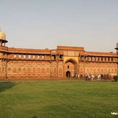
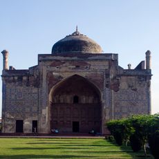
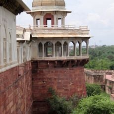
During the Vedic Age, the area belonged to the Surasena realm and later came under Maurya, Gupta, and Rajput rule. These successive periods shaped the region's development and settlement patterns.

Culture

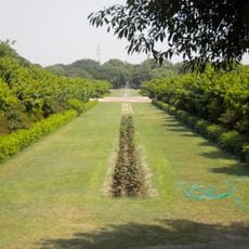
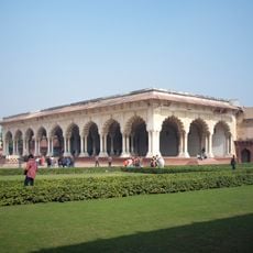
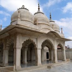
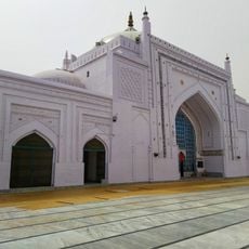
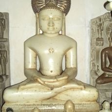
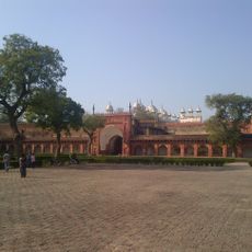
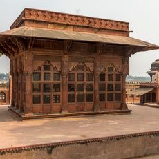
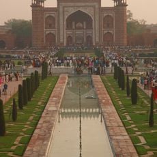
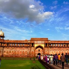
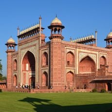
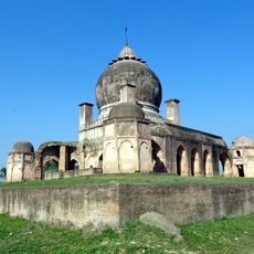
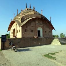
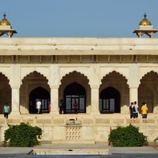
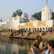
Temples, mosques, and gurdwaras dot the area, serving as gathering places where residents celebrate their traditions and festivals year-round. These spaces reflect how different communities share daily life and express their beliefs in the district.

Practical

The best time to visit is after the monsoon season when roads are clear and travel along National Highway 91 flows more smoothly. Local guides and information offices in Etah city can assist with directions and details about train services in the area.

Did you know?

The district's name traces back to the ancient term 'Aintha', which supposedly came from an incident where a fox encountered the royal hunting dogs during a hunt. This peculiar naming origin remains overshadowed by the area's more recent administrative developments.

Location
Capital city
Etah
Shares border with
Hathras district, Farrukhabad district
GPS coordinates
27.50000,78.75000
Latest update
December 7, 2025 19:25

AroundUs brings together thousands of curated places, local tips, and hidden gems, enriched daily by 60,000 contributors worldwide. Discover all places nearby (Aligarh division).

« Etah district - Administrative district in Aligarh division, India » is provided by Around Us (aroundus.com). Images and texts are derived from Wikimedia project under a Creative Commons license. You are allowed to copy, distribute, and modify copies of this page, under the conditions set by the license, as long as this note is clearly visible.

Discover hidden gems everywhere you go!

From secret cafés to breathtaking viewpoints, skip the crowded tourist spots and find places that match your style. Our app makes it easy with voice search, smart filtering, route optimization, and insider tips from travelers worldwide. Download now for the complete mobile experience.

Around Us App Screenshot

A unique approach to discovering new places

Le Figaro

All the places worth exploring

France Info

A tailor-made excursion in just a few clicks

20 Minutes

Around Us
Travel Guide & Maps
Download

Send to your phone

QR Code
1

Open the camera app on your mobile.

2

Point at the QR code with your camera. A notification will appear.

3

Tap the notification to open the link.