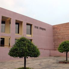
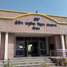
Sehore district, Administrative district in Bhopal Division, India
Sehore district is an administrative region in Bhopal Division with multiple rivers including the Seevan, Kolar, and Parvati that create favorable conditions for farming. The territory spans varied elevations and soil types, supporting different crops and ecosystems across its landscape.
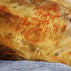
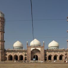
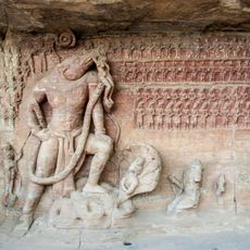
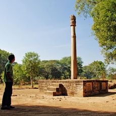
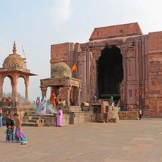
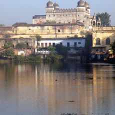
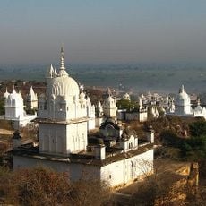
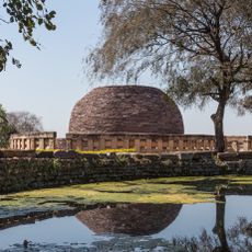
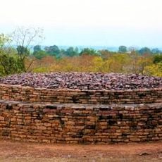
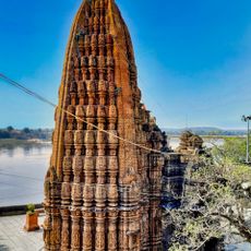
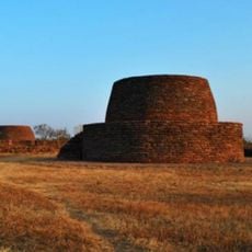
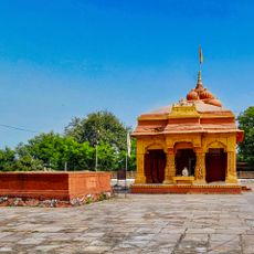
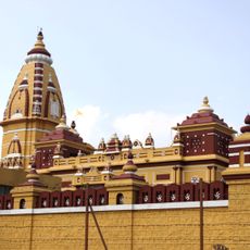
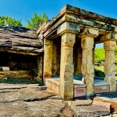
The area shows archaeological traces from ancient times, pointing to early settlements and trade routes that crossed the land. Several ruling dynasties left their marks over the centuries, shaping how the region developed.
The region expresses its agricultural roots through harvest festivals, when communities gather to celebrate their yearly crops and the cycle of cultivation. These celebrations shape daily life and connect people to the land they work.
The region can be reached via the Ujjain-Bhopal railway line and is close to a major airport for broader connections. Travel during or just after the monsoon season when fields are green and the landscape looks its best.
The territory is divided into nine separate administrative divisions, each managing its own distinct geography and population characteristics. This structure makes it interesting to observe how each area functions differently and what sets them apart from one another.
The community of curious travelers
AroundUs brings together thousands of curated places, local tips, and hidden gems, enriched daily by 60,000 contributors worldwide.