Enable Location

We need your location to show you interesting places around you

Discover nearby places

Find interesting locations and hidden gems around you

Precise directions

Get accurate directions and distances to places

Your location is never shared with other users. It's only used when you tap the location button.

Log in to your account

Start exploring — it's free

Trusted by 63,143 travelers worldwide

Continue with Google
Continue with Apple
or

We will send you a code to connect

By continuing, you accept our Terms and Conditions and our Privacy Policy

Check your inbox

We've sent a pincode in your inbox. Please enter the code below.

Giridih district
Discussion Reviews Photo
16.3k Popularity

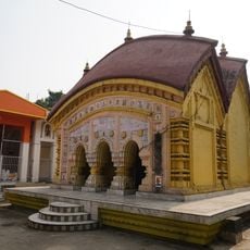
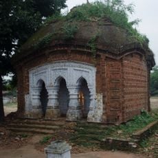
Giridih district, Administrative district headquarters in North Chotanagpur, India

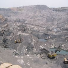
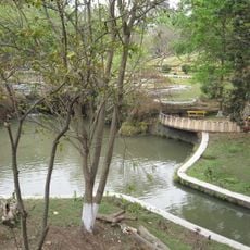
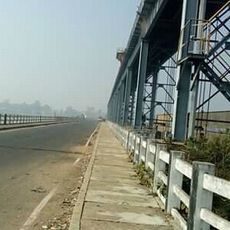
Giridih is an administrative district in North Chotanagpur with undulating terrain, dense forests, and hills throughout its landscape. The region is divided into four subdivisions and thirteen blocks, with the Barakar and Sakri rivers flowing through it.

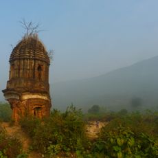
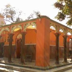
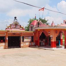
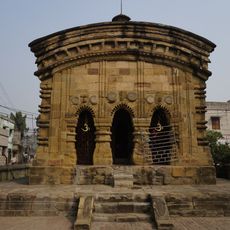
The district was established in 1972 after separating from Hazaribagh District and reflects a long history of Munda tribal governance, Mughal rule, and British administration. These different periods shaped how the region developed over centuries.

Khortha is the main language spoken by residents, though Hindi, Santali, and Urdu are also widely heard in daily life. This linguistic mix reflects the diverse communities living across the villages and towns.

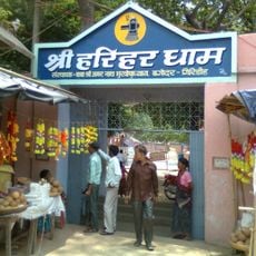
The district spreads across roughly 2,772 villages organized across four subdivisions and served by banks and hospitals in key areas. Visitors should plan ahead since services and infrastructure are spread across rural settlements rather than concentrated in one place.

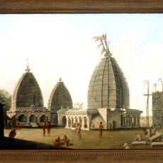
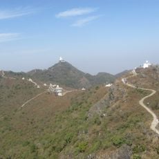
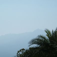
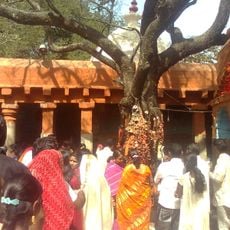
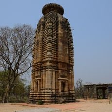
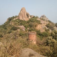
The Parasnath Hills within this region are the highest elevation points in Jharkhand and draw pilgrims and visitors from across the state. These mountains create a striking landscape that stands out from the flatter terrain found elsewhere in the region.

The community of curious travelers

AroundUs brings together thousands of curated places, local tips, and hidden gems, enriched daily by 60,000 contributors worldwide.

Start exploring
Capital city
Giridih
Shares border with
Koderma district, Jamtara district, Dhanbad district
GPS coordinates
24.18000,86.32000
Latest update
December 7, 2025 19:27
Reviews
Share your experience

No review yet

Discussions
Start a discussion...

No discussion yet

« Giridih district - Administrative district headquarters in North Chotanagpur, India » is provided by Around Us (aroundus.com). Images and texts are derived from Wikimedia project under a Creative Commons license. You are allowed to copy, distribute, and modify copies of this page, under the conditions set by the license, as long as this note is clearly visible.

Discover hidden gems everywhere you go!

From secret cafés to breathtaking viewpoints, skip the crowded tourist spots and find places that match your style. Our app makes it easy with voice search, smart filtering, route optimization, and insider tips from travelers worldwide. Download now for the complete mobile experience.

Around Us App Screenshot

A unique approach to discovering new places

Le Figaro

All the places worth exploring

France Info

A tailor-made excursion in just a few clicks

20 Minutes

Around Us
Travel Guide & Maps
Download

Send to your phone

QR Code
1

Open the camera app on your mobile.

2

Point at the QR code with your camera. A notification will appear.

3

Tap the notification to open the link.