Enable Location

We need your location to show you interesting places around you

Discover nearby places

Find interesting locations and hidden gems around you

Precise directions

Get accurate directions and distances to places

Your location is never shared with other users. It's only used when you tap the location button.

Log in to your account

Start exploring — it's free

Trusted by 61,823 travelers worldwide

Continue with Google
Continue with Apple
or

We will send you a code to connect

By continuing, you accept our Terms and Conditions and our Privacy Policy

Check your inbox

We've sent a pincode in your inbox. Please enter the code below.

Jamnagar district

Jamnagar district, Administrative district in Gujarat, India

Description

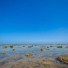
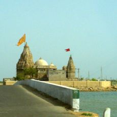
Jamnagar district stretches along Gujarat's western coastline and is divided into six administrative subdivisions called talukas. The area borders both the Arabian Sea and the Gulf of Kutch, creating a landscape shaped by coastal and inland features.

History

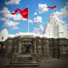
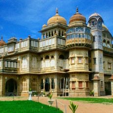
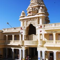
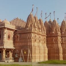
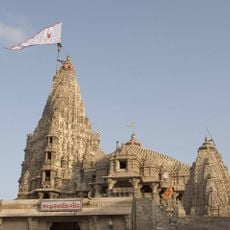
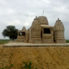
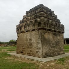
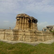
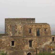
The territory developed from the former princely state of Nawanagar, founded by the Jadeja dynasty in 1540 with Jamnagar city as its capital. This seat of power shaped the region's political and social development for centuries.

Culture

Gujarati is the main language spoken by residents, and you can see traditional textile craftsmanship throughout the region through Bandhani cloth production. These hand-tied and dyed fabrics reflect the artistic skills passed down through local communities.

Practical

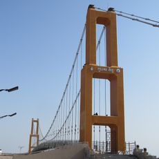
Visitors can explore the region through an extensive network of highways, with a railway station connecting to major cities nearby. A local airport also provides domestic flight options for travelers who prefer faster access.

Did you know?

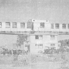
One of the world's largest oil refineries operates in the district, run by Reliance Industries and processing enormous quantities of petroleum products. This industrial facility significantly shapes both the regional economy and everyday infrastructure.

Location
Capital city
Jamnagar
Shares border with
Porbandar district, Rajkot district, Morbi district, Devbhumi Dwarka district
GPS coordinates
22.25000,70.00000
Latest update
December 7, 2025 10:06

AroundUs brings together thousands of curated places, local tips, and hidden gems, enriched daily by 60,000 contributors worldwide. Discover all places nearby (Gujarat).

« Jamnagar district - Administrative district in Gujarat, India » is provided by Around Us (aroundus.com). Images and texts are derived from Wikimedia project under a Creative Commons license. You are allowed to copy, distribute, and modify copies of this page, under the conditions set by the license, as long as this note is clearly visible.

Discover hidden gems everywhere you go!

From secret cafés to breathtaking viewpoints, skip the crowded tourist spots and find places that match your style. Our app makes it easy with voice search, smart filtering, route optimization, and insider tips from travelers worldwide. Download now for the complete mobile experience.

Around Us App Screenshot

A unique approach to discovering new places

Le Figaro

All the places worth exploring

France Info

A tailor-made excursion in just a few clicks

20 Minutes

Around Us
Travel Guide & Maps
Download

Send to your phone

QR Code
1

Open the camera app on your mobile.

2

Point at the QR code with your camera. A notification will appear.

3

Tap the notification to open the link.