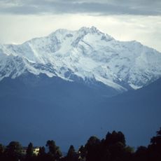
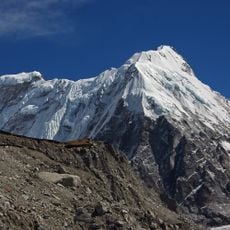
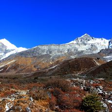
Kabru, mountain on the Nepal–India border, Taplejung District and Sikkim
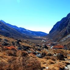
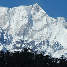
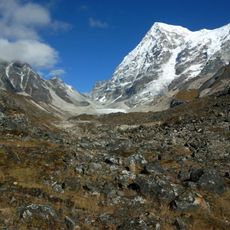
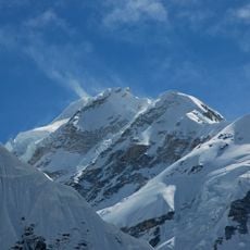
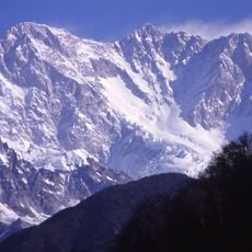
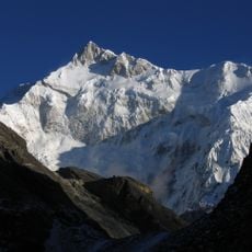
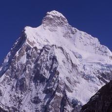
Kabru is a mountain on the Nepal–India border, the southernmost 7,000 m peak in the world, on a ridge running south from Kangchenjunga. Its named summits are Kabru North (7,338 m) and Kabru South (7,318 m); the ridge's highest point, 7,412 m, is sometimes called Kabru IV. Between them lies a firn field about 2 km by 1 km, almost entirely above 7,200 m.
William Graham claimed the first ascent in 1883, but his achievement was questioned due to insufficient documentation of the climb. The lack of evidence led to ongoing debates among climbers about when the peak was actually first summited.
Kabru's name is applied inconsistently: the 7,338 m summit is called Kabru North, the 7,318 m one Kabru South, and the 7,412 m high point is sometimes labelled Kabru IV, though sources doubt that name fits. The Indian Army expedition of 1994 called the 7,412 m summit Kabru III.
Kabru is a mountain, not a range: its summits sit on the Kangchenjunga ridge on the Nepal–India border, with Kabru North at 7,338 m and Kabru South at 7,318 m. The 7,412 m high point is the highest of the group. Access is from the Sikkim side in India and the Taplejung side in Nepal; the 1994 Indian Army expedition climbed all three summits from the saddle between them.
Kabru North (7,338 m) was the site of an undisputed altitude record on 20 October 1907, when Norwegians Carl W. Rubenson and Monrad Aas came within 50 m of the top. They believed Graham, Boss and Kaufmann had reached the same point 24 years earlier.
The community of curious travelers
AroundUs brings together thousands of curated places, local tips, and hidden gems, enriched daily by 93,531 contributors worldwide.