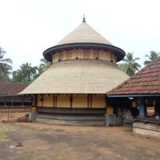
Anakkayam Grama Panchayat, Rural administrative unit in Malappuram district, India
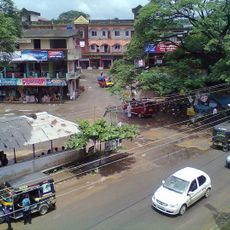
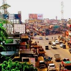
Anakkayam Grama Panchayat covers 45.23 sq km in Eranad taluk, Malappuram block, and is split by the Kadalundi River into two villages, Anakkayam and Pandallur, with 23 wards. Its office stands at Anakkayam, and the Pandallur hills, once the Eranad–Walluvanad boundary, rise within it.
This area was historically a boundary region between different administrative zones during British rule in India. The Pandallur hills marked where these divisions met.
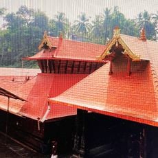
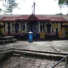
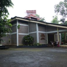
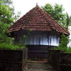
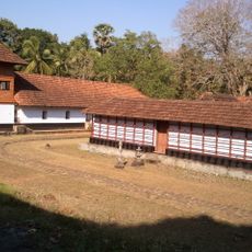
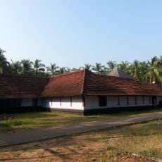
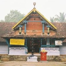
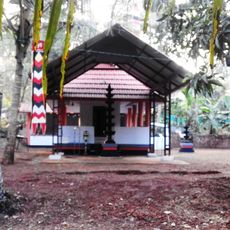
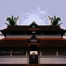
The name Anakkayam is said to come from a place where the kayam (depth) was so great that even an elephant could not touch bottom. Residents of all faiths join the Muttipalam nercha and palliperunnal, and the temple festivals; the panchayat has 13 places of worship, including Pandallur St. Paul's Church, Irumboozhi Vishnu Temple and Anakkayam Juma Masjid.
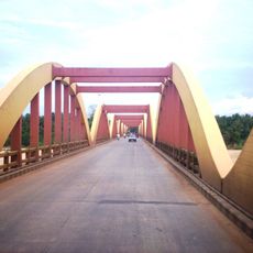
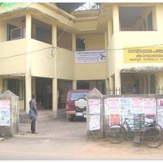
Anakkayam Grama Panchayat covers 45.23 sq km across 23 wards, with its office building at Anakkayam. The Kadalundi River runs through the middle of the panchayat, dividing it into the Anakkayam and Pandallur villages. The land rises from riverbank flats to hills, and around thirty ponds plus the Karathodu, Avunjithodu, Pulikkal and Olikkal streams supply irrigation water.
The Kadalundi Puzha, rising in the Western Ghats at Kalikavu and Karuvarakundu, runs east to west through the centre of the panchayat and divides it into the villages of Anakkayam and Pandallur. Around thirty ponds and several canals, including Karathodu and Avunjithodu, supplement it for irrigation.
The community of curious travelers
AroundUs brings together thousands of curated places, local tips, and hidden gems, enriched daily by 92,674 contributors worldwide.