Log in to your account

AroundUs is a community-driven map of interesting places, built by curious explorers like you. It grows with every review, story, and photo you share.
Connect to save your favorite spots, contribute locations, and create personalized routes.
Continue with Google
Continue with Apple
Continue with X
Continue with Facebook
Continue with email
By continuing, you accept our Terms and Conditions and our Privacy Policy
Create an account

Baruipur community development block

Add to collection
Map
Suggest a change
Share

Baruipur community development block, Community development block in South 24 Parganas district, West Bengal, India

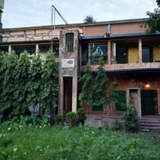
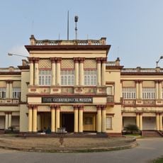
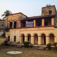
Baruipur is a community development block in South 24 Parganas district comprising multiple villages and rural settlements across the region. The headquarters are located at Piyali Town, which serves as the administrative center for local governance and service delivery.

The block was established after India's independence to strengthen rural administration and resource management in agricultural regions. This administrative restructuring aimed to bring better governance and development programs to countryside communities.

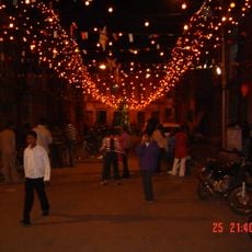
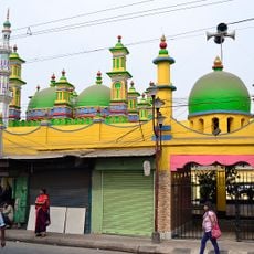
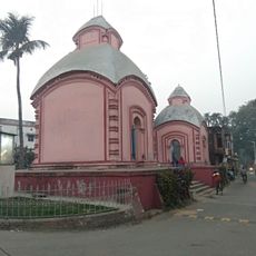
Local communities practice both Hindu and Muslim traditions, with festivals and religious observances woven into everyday life throughout the year. This blend of customs shapes how residents celebrate important occasions and mark the calendar.

Most services and administrative functions are coordinated from Piyali Town, the block headquarters, making it a useful starting point for visitors. Local gram panchayat offices can provide information about community programs and rural development activities happening in different villages.

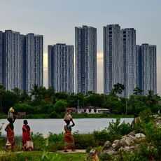
The region is known for its extensive fish farming operations that have become central to local livelihoods and food production. These water-based activities have deep roots in the community and remain a defining feature of rural life here.

Location: Baruipur subdivision

Elevation above the sea: 9 m

Shares border with: Bishnupur I community development block

GPS coordinates: 22.36544,88.43250

Latest update: December 11, 2025 11:06

Photos
Reviews

Visited this place? Tap the stars to rate it and share your experience / photos with the community! Try now! You can cancel it anytime.

« Baruipur community development block - Community development block in South 24 Parganas district, West Bengal, India » is provided by Around Us (aroundus.com). Images and texts are derived from Wikimedia project under a Creative Commons license. You are allowed to copy, distribute, and modify copies of this page, under the conditions set by the license, as long as this note is clearly visible.

Discover hidden gems everywhere you go!

From secret cafés to breathtaking viewpoints, skip the crowded tourist spots and find places that match your style. Our app makes it easy with voice search, smart filtering, route optimization, and insider tips from travelers worldwide. Download now for the complete mobile experience.

Around Us App Screenshot

A unique approach to discovering new places

Le Figaro

All the places worth exploring

France Info

A tailor-made excursion in just a few clicks

20 Minutes