Enable Location

We need your location to show you interesting places around you

Discover nearby places

Find interesting locations and hidden gems around you

Precise directions

Get accurate directions and distances to places

Your location is never shared with other users. It's only used when you tap the location button.

Log in to your account

Start exploring — it's free

Trusted by 63,013 travelers worldwide

Continue with Google
Continue with Apple
or

We will send you a code to connect

By continuing, you accept our Terms and Conditions and our Privacy Policy

Check your inbox

We've sent a pincode in your inbox. Please enter the code below.

Beldanga I community development block
Discussion Reviews Photo
3.9k Popularity

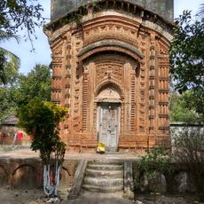
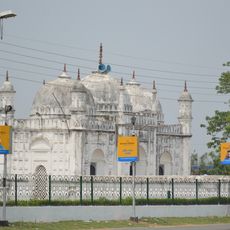
Beldanga I community development block, Rural administrative region in Berhampur, India

Beldanga I is a rural administrative block in Murshidabad district, West Bengal, encompassing a landscape of agricultural fields, scattered settlements, and water channels. The terrain is low-lying and traversed by streams that support farming activities throughout the region.

The block evolved from a smaller settlement into an important agricultural center as the population grew substantially over recent decades. Water availability and fertile soil supported this development into a farming-focused community.

The population consists of 78.25 percent Muslim residents and 21.40 percent Hindu residents, with Bengali language spoken by 99.93 percent of inhabitants.

The block is served by a network of health centers providing basic medical services to rural communities. Visitors should expect rural infrastructure with limited transportation options and plan travel accordingly.

Agricultural activities form the main economic base, with 16.12 percent cultivators and 30.50 percent agricultural laborers among the working population.

The community of curious travelers

AroundUs brings together thousands of curated places, local tips, and hidden gems, enriched daily by 60,000 contributors worldwide.

Start exploring
Elevation above the sea
22 m
Shares border with
Berhampore community development block, Hariharpara community development block, Naoda community development block, Beldanga II community development block
GPS coordinates
23.93000,88.25000
Latest update
December 11, 2025 18:05
Reviews
Share your experience

No review yet

Discussions
Start a discussion...

No discussion yet

« Beldanga I community development block - Rural administrative region in Berhampur, India » is provided by Around Us (aroundus.com). Images and texts are derived from Wikimedia project under a Creative Commons license. You are allowed to copy, distribute, and modify copies of this page, under the conditions set by the license, as long as this note is clearly visible.

Discover hidden gems everywhere you go!

From secret cafés to breathtaking viewpoints, skip the crowded tourist spots and find places that match your style. Our app makes it easy with voice search, smart filtering, route optimization, and insider tips from travelers worldwide. Download now for the complete mobile experience.

Around Us App Screenshot

A unique approach to discovering new places

Le Figaro

All the places worth exploring

France Info

A tailor-made excursion in just a few clicks

20 Minutes

Around Us
Travel Guide & Maps
Download

Send to your phone

QR Code
1

Open the camera app on your mobile.

2

Point at the QR code with your camera. A notification will appear.

3

Tap the notification to open the link.