Geography of Bihar, Geographic region in eastern India
This eastern Indian state lies between West Bengal and Uttar Pradesh, with the Ganges dividing the northern plains from the southern territories. The land ranges from broad alluvial floodplains in the north to rising hills near the Jharkhand border in the south.
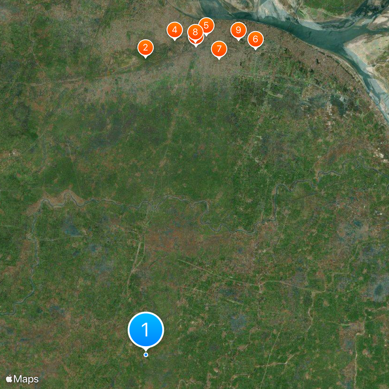
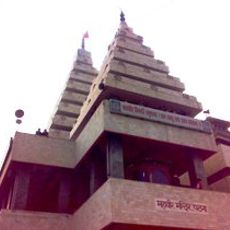
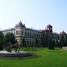
This region served as the center of the Maurya Empire and holds many Buddhist sites, with the name deriving from vihara, the word for a Buddhist monastery. Over centuries, multiple dynasties passed through and shaped the cultural diversity visible today.
Several languages including Hindi, Urdu, Bhojpuri, Maithili, and Magahi form the linguistic landscape of Bihar, reflecting its diverse population of 130 million inhabitants.
Three seasons bring monsoon rains from June to October, which water the fields and shape farming life. Travelers should account for the rainy period when planning, as roads and access routes can flood during those months.
The Kosi shifts its course regularly and carries fertile silt into the northern plains, constantly reshaping the land. The southern hills reach heights of 2,887 feet (880 meters) and form a contrast to the flat alluvial lowlands.
The community of curious travelers
AroundUs brings together thousands of curated places, local tips, and hidden gems, enriched daily by 60,000 contributors worldwide.