Bihar, State in eastern India
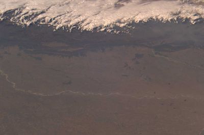
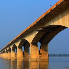
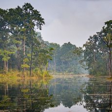
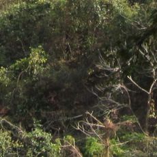
This is an administrative state in the eastern part of the country, positioned along the Ganges River and characterized by low-lying plains that stretch from west to east across its territory. The capital Patna sits on the southern bank of the river, while the entire region consists of flat agricultural land intersected by multiple waterways that shape the landscape and create broad green expanses across the horizon.
The territory separated from Bengal in March 1912 under British colonial administration, establishing an independent administrative unit in this part of the subcontinent. Over the following decades, the region passed through independence, partition, and political reorganization before taking its current form as a state within the Republic of India.
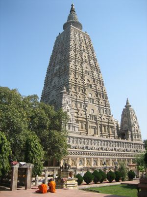
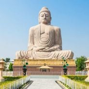
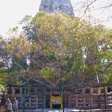
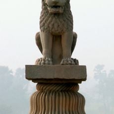
Visitors in Bodh Gaya watch Buddhist monks performing rituals around the Bodhi tree, while pilgrims from many countries gather to meditate and offer prayers at the site where Buddha is said to have gained enlightenment. Across the region, travelers encounter orange-robed monks walking through villages and living in simple monasteries, where they chant daily prayers and welcome both locals and foreigners who wish to learn about their traditions.
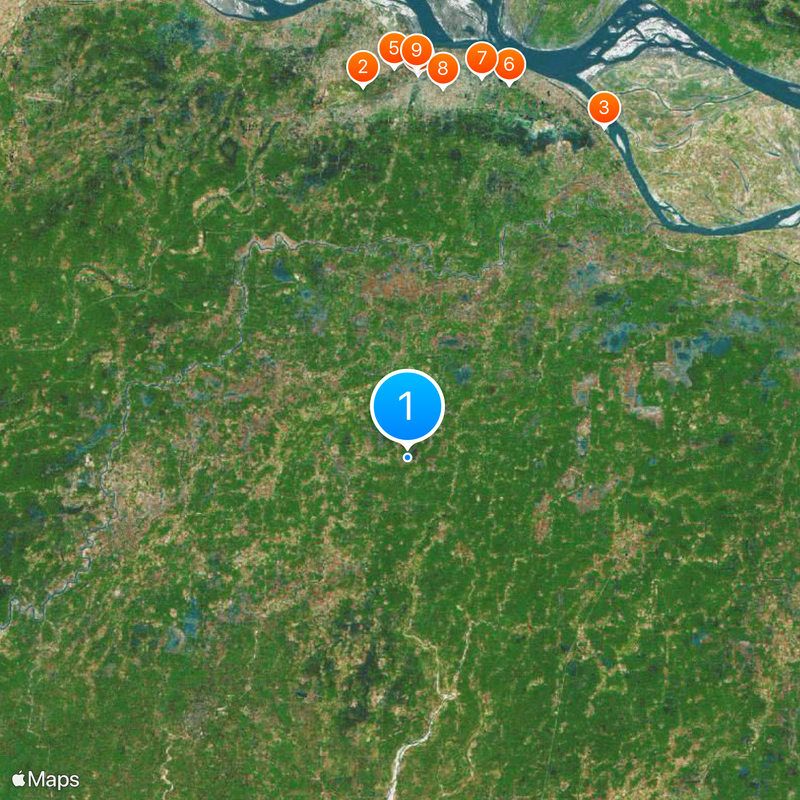
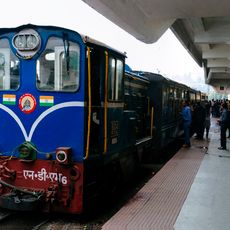
The region is divided into 38 districts, each with its own administrative center, making it easier for visitors to identify different entry points and travel routes within the territory. Patna serves as the main hub for transportation and orientation, offering connections to other parts of the territory, including access to pilgrimage sites like Bodh Gaya and historical areas such as Nalanda.
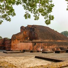
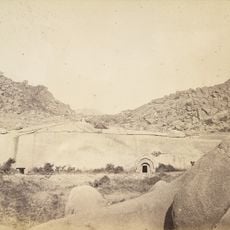
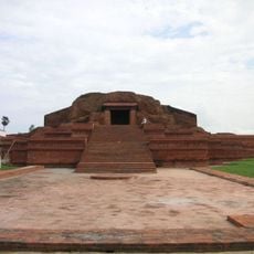
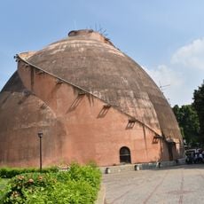
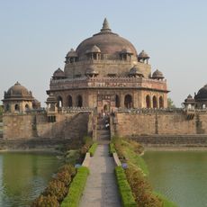
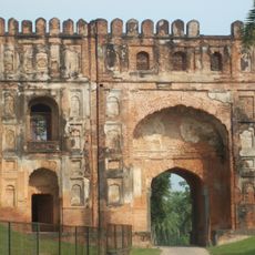
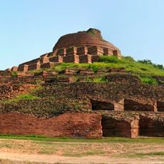
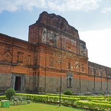
Nalanda preserves the remains of a large university complex that operated from the 5th century onward as an international center for Buddhist learning, attracting students from across Asia. The site contained multiple monasteries, lecture halls, and a massive library before it was destroyed in 1193 and then forgotten for centuries until archaeological work brought it back to attention.
The community of curious travelers
AroundUs brings together thousands of curated places, local tips, and hidden gems, enriched daily by 60,000 contributors worldwide.