Eranad taluk, taluk in Kerala, India
Location: Malappuram district
Capital city: Manjeri
GPS coordinates: 11.11920,76.11963
Latest update: May 7, 2025 12:24

Kadampuzha Devi Temple
21.3 km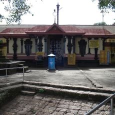
Tirunavaya Temple
32.1 km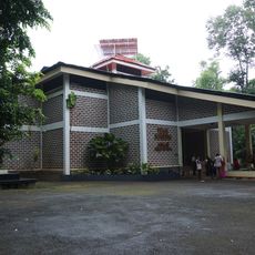
Teak Museum
24.7 km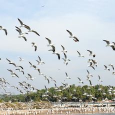
Kadalundi Bird Sanctuary
31.8 km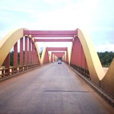
Kuttippuram bridge
32.8 km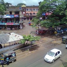
Omassery Grama Panchayat
25.6 km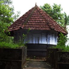
Tavanur Grama Panchayat
33.1 km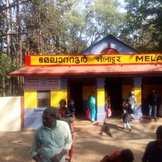
Melattur Grama Panchayat
18.2 km
Angadipuram Laterite
16.9 km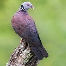
New Amarambalam Reserved Forest
14.5 km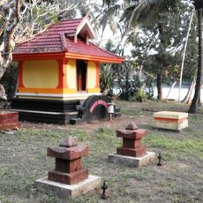
Vallikkunnu Grama Panchayat
31.3 km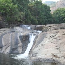
Adyanpara Falls
27.8 km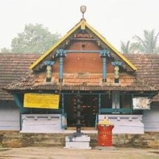
Kodikkunnu Bhagavathy Temple
32 km
Vazhakkad Grama Panchayat
23.6 km
Anakkayam Grama Panchayat
3.9 km
Perumanna Grama Panchayat
29.4 km
Karulai Grama Panchayat
26.9 km
Perumanna Klari Grama Panchayat
23.1 km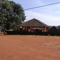
Alanallur Grama Panchayat
27.5 km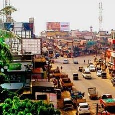
Athavanad Grama Panchayat
25.9 km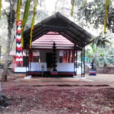
Thenhipalam Grama Panchayat
25.1 km
Malabar Diocese
29.2 km
Nannambra Grama Panchayat
26.6 km
Moonniyur Grama Panchayat
25.2 km
Karassery Grama Panchayat
23.9 km
Edappatta Grama Panchayat
18.8 km
Little Flower Forane Church, Nilambur
21.9 km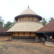
Karikkad Subrahmanya Temple, Manjeri
2.9 kmReviews
Visited this place? Tap the stars to rate it and share your experience / photos with the community! Try now! You can cancel it anytime.
Discover hidden gems everywhere you go!
From secret cafés to breathtaking viewpoints, skip the crowded tourist spots and find places that match your style. Our app makes it easy with voice search, smart filtering, route optimization, and insider tips from travelers worldwide. Download now for the complete mobile experience.

A unique approach to discovering new places❞
— Le Figaro
All the places worth exploring❞
— France Info
A tailor-made excursion in just a few clicks❞
— 20 Minutes