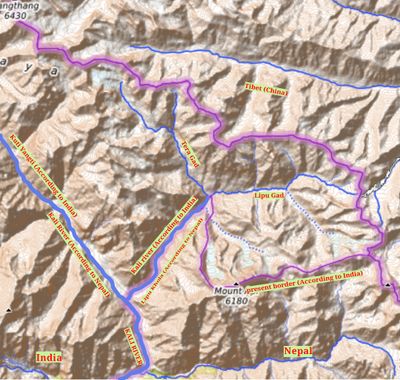
Kalapani territory, Disputed territory in Pithoragarh and Darchula districts, India-Nepal border.
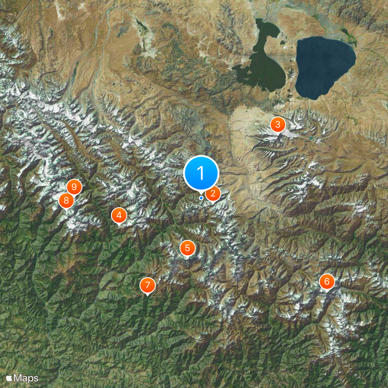
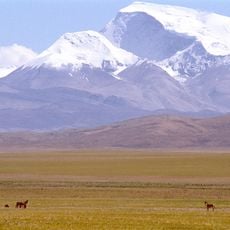
Kalapani is a high-altitude zone in the Himalayas where the borders of India, Nepal, and China converge. The landscape consists of steep mountain slopes, narrow valleys, and several source streams between 3600 and 5200 meters elevation.
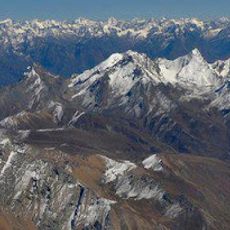
The Treaty of Sugauli in 1815 established the Kali River as the border between Nepal and the then-British territories. Different interpretations of which source branch counts as the main river later led to competing territorial claims.
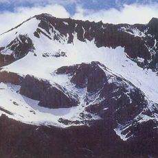
The name Kalapani comes from the term for black water, referring to the dark mountain streams in the area. Herders from the surrounding valleys still use the high pastures for their livestock during the brief summer months.
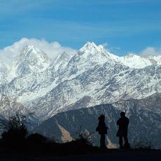
Access to this area requires official permits, as it remains a strictly controlled border region. Anyone planning to travel here should check current regulations well in advance and allow several weeks for permit processing.
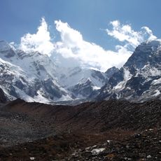
This area contains several headwaters of the Kali River, making geographic determination of the exact border line difficult. This hydrographic feature sits at the center of the ongoing territorial discussion between the two countries.
The community of curious travelers
AroundUs brings together thousands of curated places, local tips, and hidden gems, enriched daily by 60,000 contributors worldwide.