Enable Location

We need your location to show you interesting places around you

Discover nearby places

Find interesting locations and hidden gems around you

Precise directions

Get accurate directions and distances to places

Your location is never shared with other users. It's only used when you tap the location button.

Gurla Mandhata

Log in to your account

Start exploring — it's free

Trusted by 63,239 travelers worldwide

Continue with Google
Continue with Apple
or

We will send you a code to connect

By continuing, you accept our Terms and Conditions and our Privacy Policy

Check your inbox

We've sent a pincode in your inbox. Please enter the code below.

Gurla Mandhata
Discussion Reviews 1 Photos
11.4k Popularity

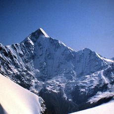
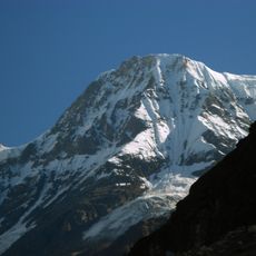
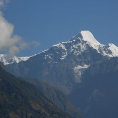
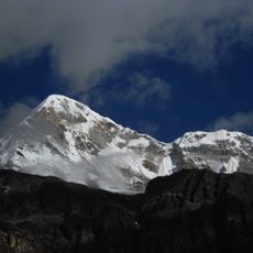
Gurla Mandhata, Mountain summit in Ngari Prefecture, China

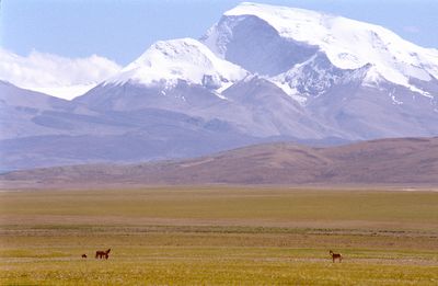
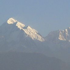
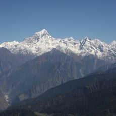
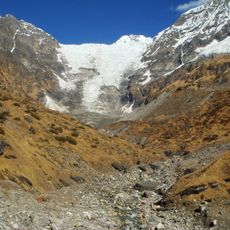
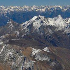
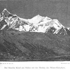
Gurla Mandhata is a mountain summit in Ngari Prefecture and rises to 7,694 meters above sea level. It is the highest peak of the Nalakankar Himal range and sits on the Tibet Plateau surrounded by extensive glacial systems.

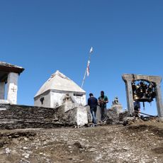
The first successful ascent occurred in 1985 when a Sino-Japanese expedition team reached the summit after previous attempts had failed. This achievement marked an important milestone in mountaineering history for the region.

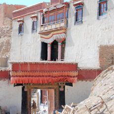
The mountain is known by the Tibetan name Naimona Nyi, meaning Mountain of the Holy Mother, and holds spiritual significance in the beliefs of local communities.

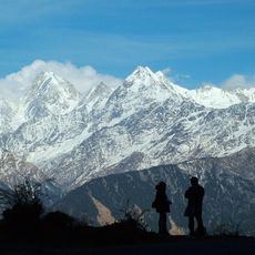
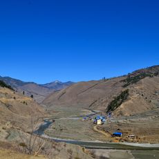
Climbing this mountain requires special permits and preparation for demanding high-altitude conditions. Most expeditions establish their base camp in the glacier zone where altitude acclimatization can begin.

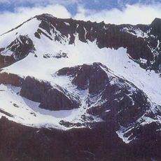
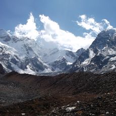
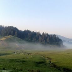
The mountain is covered by about 58 different glaciers that play an important role in the water supply of surrounding areas. The Duoyou Glacier alone stretches several kilometers and feeds water sources that reach Lake Manasarovar.

The community of curious travelers

AroundUs brings together thousands of curated places, local tips, and hidden gems, enriched daily by 60,000 contributors worldwide.

Start exploring
Location
Elevation above the sea
7,694 m
Part of
Nalakankar Himal
GPS coordinates
30.43847,81.29615
Latest update
December 8, 2025 13:41
Reviews
Share your experience

No review yet

Discussions
Start a discussion...

No discussion yet

« Gurla Mandhata - Mountain summit in Ngari Prefecture, China » is provided by Around Us (aroundus.com). Images and texts are derived from Wikimedia project under a Creative Commons license. You are allowed to copy, distribute, and modify copies of this page, under the conditions set by the license, as long as this note is clearly visible.

Discover hidden gems everywhere you go!

From secret cafés to breathtaking viewpoints, skip the crowded tourist spots and find places that match your style. Our app makes it easy with voice search, smart filtering, route optimization, and insider tips from travelers worldwide. Download now for the complete mobile experience.

Around Us App Screenshot

A unique approach to discovering new places

Le Figaro

All the places worth exploring

France Info

A tailor-made excursion in just a few clicks

20 Minutes

Around Us
Travel Guide & Maps
Download

Send to your phone

QR Code
1

Open the camera app on your mobile.

2

Point at the QR code with your camera. A notification will appear.

3

Tap the notification to open the link.