Darchula District, Administrative district in Sudurpashchim Province, Nepal
Darchula is an administrative district in northwestern Nepal's Sudurpashchim Province, bordering both India and China. The territory is divided into nine municipalities, with Khalanga serving as the main administrative center in a region of mountain ranges and river valleys.
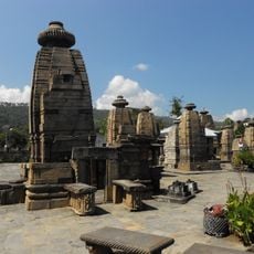
After the Katyuri kingdom declined, the area became part of the Doti Kingdom before Gorkha forces took control in 1790. This takeover changed the region's political structure and marked the beginning of its modern administrative organization.
The name comes from the Dotyali language, where 'Dar' refers to a peak and 'Chula' means a traditional three-stone hearth for cooking. These words show how closely the local people connect with the mountains and their daily ways of living.
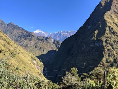
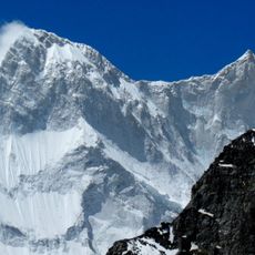
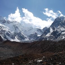
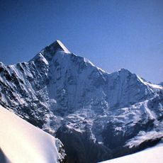
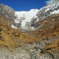
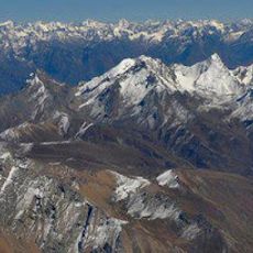
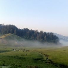
The territory is mountainous with river valleys, so visitors should expect varied terrain and elevation changes throughout the area. Travel is most practical during dry months when mountain roads are more accessible.
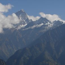
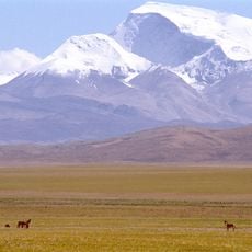
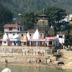
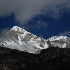
The Api Nampa Conservation Area lies within the district and serves as a starting point for pilgrims heading to the sacred Kailash Mansarovar in Tibet. This pilgrimage route combines spiritual journeys with the region's high mountain scenery.
The community of curious travelers
AroundUs brings together thousands of curated places, local tips, and hidden gems, enriched daily by 60,000 contributors worldwide.