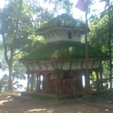
Sudurpashchim Province, Administrative province in western Nepal
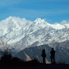
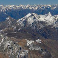
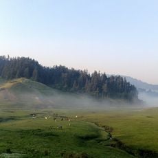
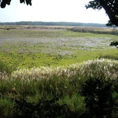
This province occupies the far western corner of the country, running from high peaks in the north down to tropical lowlands along the southern border. It shares boundaries with India to the west and south, and covers wide valleys, rivers, and forested hills between the two extremes.
The territory was once part of the western development region until a new constitution in 2015 divided the country into seven administrative units. It has carried its current name since then and now maintains its own government structures and elected provincial assembly.
The population of 2.5 million people speaks multiple languages, with Doteli and Nepali each representing 30 percent of communication among residents.
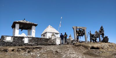
Dhangadhi serves as the capital and transport hub with government buildings and road connections to other parts of the region. Travelers should plan for varied elevation changes as the terrain shifts from low to high altitudes.
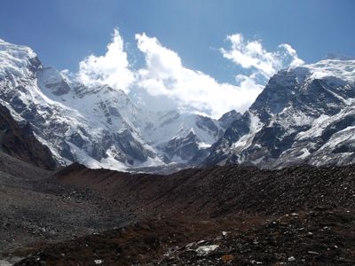
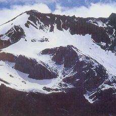
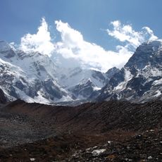
Api Himal rises to 7132 meters (23,399 feet) and forms the highest point within the province, with a summit that remains snow covered year round. This mountain sits in the remote northwest near the border with Tibet and attracts occasional expeditions.
The community of curious travelers
AroundUs brings together thousands of curated places, local tips, and hidden gems, enriched daily by 60,000 contributors worldwide.