Khargram community development block, Administrative block in Kandi subdivision, India.
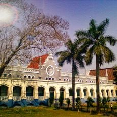
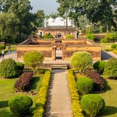
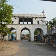
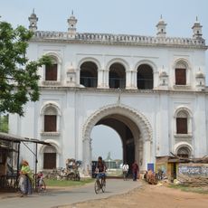
Khargram is a community development block located in the Kandi subdivision of Murshidabad district in West Bengal. The area spans a rural landscape dotted with numerous villages and settlements connected by roads and waterways.
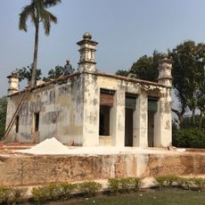
The block was established during administrative reorganization in the colonial period and has functioned as a rural administrative unit since then. Over time it has evolved from a primarily agricultural focus toward communities with more diverse economic activities.
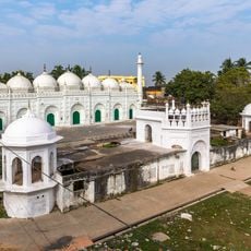
The population distribution in Khargram shows a religious composition of 54 percent Muslim residents and 45 percent Hindu residents according to census data.
The best times to explore are the drier months when water levels are lower and roads are easier to navigate. Local infrastructure is basic, so traveling with sturdy vehicles and local guides is helpful for getting around.
Multiple ferry services connect communities across local waterways and serve as important transportation links in the region. Traditional silk weaving remains active, showcasing craftsmanship techniques that have been passed down through generations.
Location: Kandi subdivision
Elevation above the sea: 27 m
Shares border with: Nabagram community development block, Kandi community development block, Burwan community development block, Nalhati II community development block, Rampurhat II community development block, Mayureswar I community development block
GPS coordinates: 24.03627,87.99327
Latest update: December 11, 2025 18:06
Tarapith
21.3 km
Hazarduari Palace
32.6 km
Namak Haram Deorhi
33.1 km
Nizamat Imambara
32.6 km
Krishnath College
26.4 km
Khushbagh
30.4 km
Tomb of Azimunnisha Begum
33 km
Fullara
30.7 km
Madina Mosque
32.6 km
Wasif Manzil
32.4 km
Motijheel Jama Mosque
31.9 km
Bachhawali Tope
32.6 km
Chawk Masjid
32.7 km
Cossimbazar Palace of Roys
29.9 km
Clock Tower of Murshidabad
32.7 km
Yellow Mosque
32.5 km
Dutch Cemetery
29.4 km
Residency Cemetery
28.3 km
St. Mary Armenian Church
28.5 km
Ratneshwar temple
27.1 km
Tomb of Mir Madan
31.3 km
White mosque
32.3 km
Siraj ud-Daulah's grave
30.3 km
Dayamoyee Kali temple
28.2 km
Tripolia Gate
32.8 km
Nizamat Fort South Gate
32.3 km
Tomb of Sujauddin
32.1 km
Byaspur Shiva temple
29.6 kmVisited this place? Tap the stars to rate it and share your experience / photos with the community! Try now! You can cancel it anytime.
Discover hidden gems everywhere you go!
From secret cafés to breathtaking viewpoints, skip the crowded tourist spots and find places that match your style. Our app makes it easy with voice search, smart filtering, route optimization, and insider tips from travelers worldwide. Download now for the complete mobile experience.
A unique approach to discovering new places❞
— Le Figaro
All the places worth exploring❞
— France Info
A tailor-made excursion in just a few clicks❞
— 20 Minutes