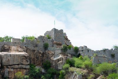
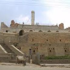
Raichur Fort, Medieval fort in Raichur district, India
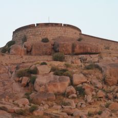
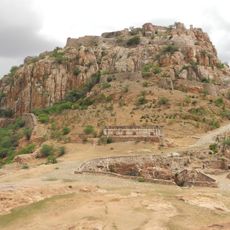
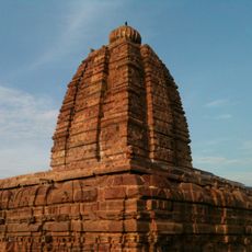
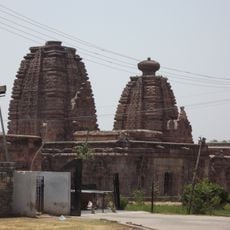
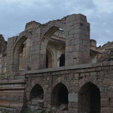
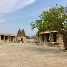
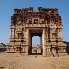
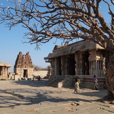
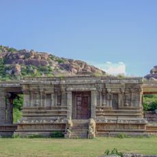
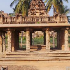
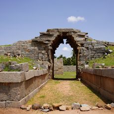
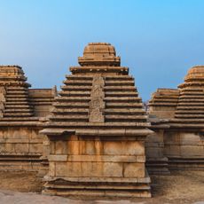
Raichur Fort is a medieval fortification in Raichur district, Karnataka, built on a granite hill with thick stone walls, large gateways, and defensive moats that reflect Indo-Islamic building traditions. The structure sits prominently above the surrounding plain, with several chambers, passages, and bastions spread across the hilltop.
The fort was founded in 1294 during the Kakatiya period and later changed hands between the Bahmani Sultanate, the Vijayanagara Empire, and the Adil Shahi Sultanate of Bijapur. Each of these powers expanded or modified the structure to suit their own needs.
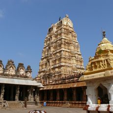
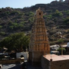
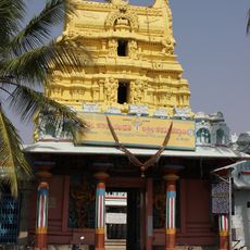
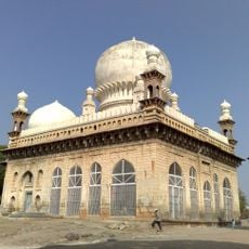
The fort holds temples, a mosque, and inscriptions in several languages, including Arabic, Persian, Telugu, and Kannada. Each of these layers reflects a different ruler who left a mark on the site over the centuries.
Visiting in the morning is a good idea, as the fort is open and exposed with little shade and temperatures rise quickly during the day. Wear sturdy footwear since parts of the terrain are uneven and some staircases are worn.
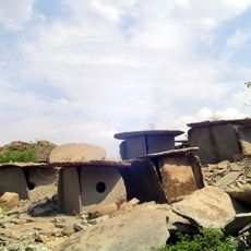
During restoration work in 2011, around 95 red granite spheres and an old cannon were found inside the fort. The spheres are thought to have been projectiles for catapults, pointing to the use of heavy siege equipment at this site.
The community of curious travelers
AroundUs brings together thousands of curated places, local tips, and hidden gems, enriched daily by 60,000 contributors worldwide.