Enable Location

We need your location to show you interesting places around you

Discover nearby places

Find interesting locations and hidden gems around you

Precise directions

Get accurate directions and distances to places

Your location is never shared with other users. It's only used when you tap the location button.

Log in to your account

Start exploring — it's free

Trusted by 62,408 travelers worldwide

Continue with Google
Continue with Apple
or

We will send you a code to connect

By continuing, you accept our Terms and Conditions and our Privacy Policy

Check your inbox

We've sent a pincode in your inbox. Please enter the code below.

Chemmappilly

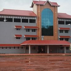
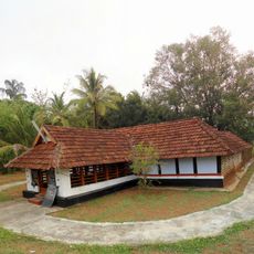
Chemmappilly, Rural settlement in Thrissur district, India.

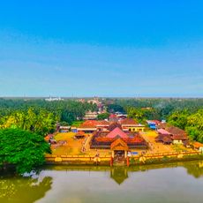
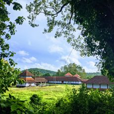
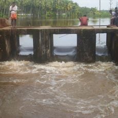
Chemmappilly is a rural settlement along the Theevra River, also called Canoli Canal, located in Kerala's central region. The area sits about 6 meters above sea level and features traditional paddy fields and water-rich landscapes.

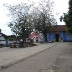
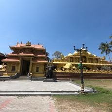
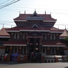
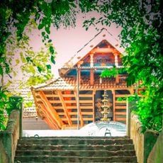
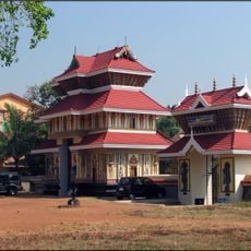
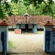
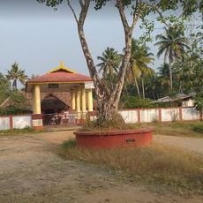
The name Chemmappilly derives from 'Chennan kol', referring to ancient paddy fields where ritual ceremonies took place at Sreeraman Chira. These fields served as centers of community activity and retained their cultural importance across generations.

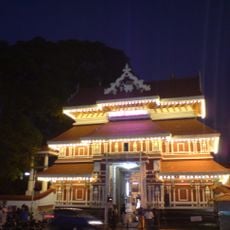
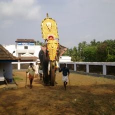
The settlement observes the annual Sethubandan ceremonies, where local traditions intertwine with stories from Indian mythology. These ritual celebrations remain an integral part of community life and are practiced with deep engagement by residents.

The settlement lies roughly 23 kilometers from Thrissur city and connects to nearby towns via National Highway NH544. The postal code 680565 helps with orientation and communication with local services.

A hanging bridge built in 2013 connects the Thannyam and Nattika Grama Panchayaths and improves connectivity between the two administrative regions. This structure often surprises visitors as it demonstrates how infrastructure serves local governance.

The community of curious travelers

AroundUs brings together thousands of curated places, local tips, and hidden gems, enriched daily by 60,000 contributors worldwide.

Start exploring
GPS coordinates
10.42600,76.11600
Latest update
December 14, 2025 16:42
« Chemmappilly - Rural settlement in Thrissur district, India » is provided by Around Us (aroundus.com). Images and texts are derived from Wikimedia project under a Creative Commons license. You are allowed to copy, distribute, and modify copies of this page, under the conditions set by the license, as long as this note is clearly visible.

Discover hidden gems everywhere you go!

From secret cafés to breathtaking viewpoints, skip the crowded tourist spots and find places that match your style. Our app makes it easy with voice search, smart filtering, route optimization, and insider tips from travelers worldwide. Download now for the complete mobile experience.

Around Us App Screenshot

A unique approach to discovering new places

Le Figaro

All the places worth exploring

France Info

A tailor-made excursion in just a few clicks

20 Minutes

Around Us
Travel Guide & Maps
Download

Send to your phone

QR Code
1

Open the camera app on your mobile.

2

Point at the QR code with your camera. A notification will appear.

3

Tap the notification to open the link.