Enable Location

We need your location to show you interesting places around you

Discover nearby places

Find interesting locations and hidden gems around you

Precise directions

Get accurate directions and distances to places

Your location is never shared with other users. It's only used when you tap the location button.

Sholayar Dam

Log in to your account

Join the adventure

Create your free account and start exploring (like 60k+ others)

We will send you a code to connect

or
Continue with Google
Continue with Apple
By continuing, you accept our Terms and Conditions and our Privacy Policy

Check your inbox

We've sent a pincode in your inbox. Please enter the code below.

Sholayar Dam

Sholayar Dam, Hydroelectric dam in Athirappilly Grama Panchayat, India

Description

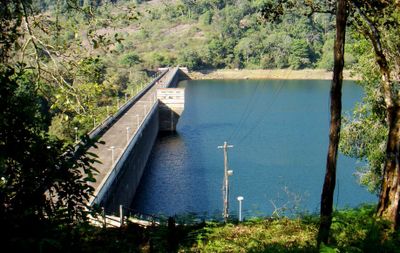
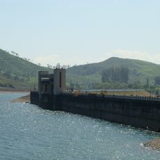
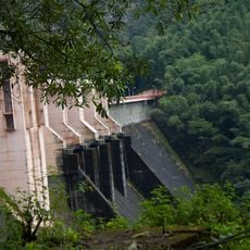
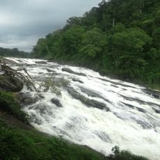
Sholayar Dam is a hydroelectric facility that spans 430 meters across the Chalakkudi River and rises 66 meters high. The structure includes three penstocks for power generation and is part of a triple-dam system that also uses a flanking dam and a saddle dam.

History

Construction finished in 1965, marking the Kerala State Electricity Board's first major infrastructure project in the region. This work was a turning point for electricity generation and grid development across Kerala.

Culture

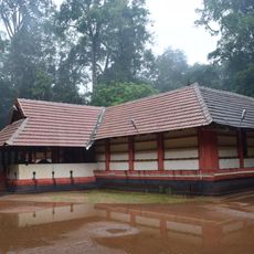
The area around the dam was home to the Kadar tribal people, whose daily lives changed significantly after construction began. The site reflects how traditional communities adapted when modern infrastructure arrived in their region.

Practical

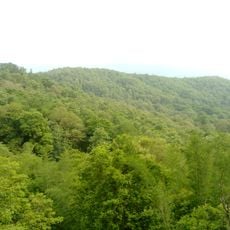
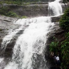
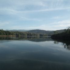
The site sits in a green landscape with good pathways to walk around the dam and explore the surrounding nature. Daytime visits work best when light shows the water clearly and walking paths are easy to navigate.

Did you know?

The three turbines at the facility feed roughly 233 million kilowatt-hours of power into Kerala's grid each year, showing the economic importance of this installation. This energy output reveals how a single structure supports the electricity needs of an entire region.

Official opening
1965
Height
66 m
Length
430.53 m
GPS coordinates
10.32129,76.73519
Latest update
December 10, 2025 16:27

AroundUs brings together thousands of curated places, local tips, and hidden gems, enriched daily by 60,000 contributors worldwide. Discover all places nearby (Athirappilly Grama Panchayat).

« Sholayar Dam - Hydroelectric dam in Athirappilly Grama Panchayat, India » is provided by Around Us (aroundus.com). Images and texts are derived from Wikimedia project under a Creative Commons license. You are allowed to copy, distribute, and modify copies of this page, under the conditions set by the license, as long as this note is clearly visible.

Discover hidden gems everywhere you go!

From secret cafés to breathtaking viewpoints, skip the crowded tourist spots and find places that match your style. Our app makes it easy with voice search, smart filtering, route optimization, and insider tips from travelers worldwide. Download now for the complete mobile experience.

Around Us App Screenshot

A unique approach to discovering new places

Le Figaro

All the places worth exploring

France Info

A tailor-made excursion in just a few clicks

20 Minutes

Around Us
Travel Guide & Maps
Download

Send to your phone

QR Code
1

Open the camera app on your mobile.

2

Point at the QR code with your camera. A notification will appear.

3

Tap the notification to open the link.