Ankola Taluk, taluk in Uttara Kannada district, Karnataka, India
Location: Uttara Kannada District
GPS coordinates: 14.68900,74.44700
Latest update: May 17, 2025 14:15
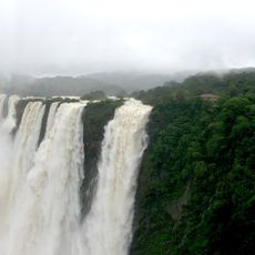
Jog Falls
64.6 km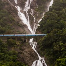
Dudhsagar Falls
71 km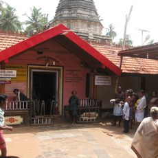
Mahabaleshwar Temple
21.5 km
Sahasralinga
38.9 km
Bhagwan Mahaveer Sanctuary and Mollem National Park
78.9 km
Sirsi Marikamba Temple
43.1 km
Kali Tiger Reserve
37.1 km
Mirjan Fort
22.5 km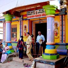
Ganesha Temple, Idagunji
51.3 km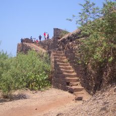
Cabo de Rama
71.9 km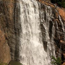
Unchalli Falls
44.9 km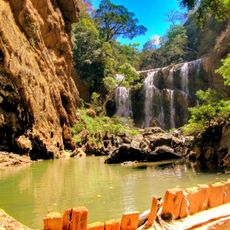
Sathodi Falls
32.5 km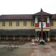
Chitrapur Math
73.9 km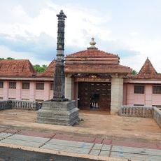
Gokarna Math
49.8 km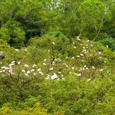
Gudavi Bird Sanctuary
67 km
Attiveri Bird Sanctuary
77.3 km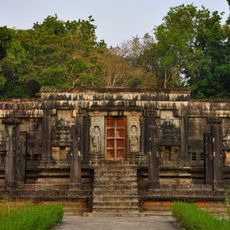
Chaturmukha Basadi, Gerusoppa
56.4 km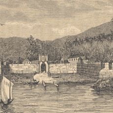
Fort Anjediva
36.8 km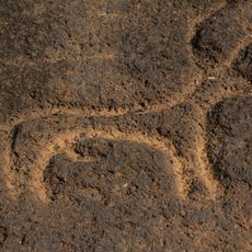
Usgalimal rock engravings
59 km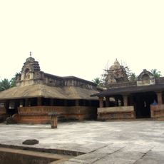
Madhukesvara temple
63.8 km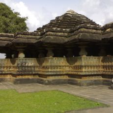
Tarakeshwara Temple, Hangal
73.4 km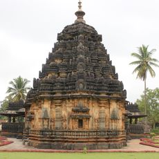
Kaitabheshvara Temple, Kubatur
76.5 km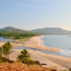
Belambar
18 km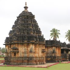
Kubaturu
77.2 km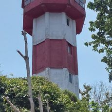
Honnavar Lighthouse
45.8 km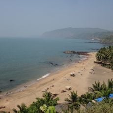
Cola Beach
65.7 km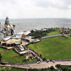
Shiva of Murudeshwara
66.4 km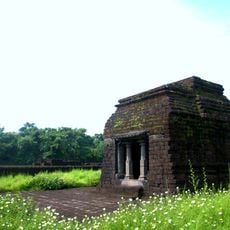
Kurdi Mahadev Temple
64.6 kmReviews
Visited this place? Tap the stars to rate it and share your experience / photos with the community! Try now! You can cancel it anytime.
Discover hidden gems everywhere you go!
From secret cafés to breathtaking viewpoints, skip the crowded tourist spots and find places that match your style. Our app makes it easy with voice search, smart filtering, route optimization, and insider tips from travelers worldwide. Download now for the complete mobile experience.

A unique approach to discovering new places❞
— Le Figaro
All the places worth exploring❞
— France Info
A tailor-made excursion in just a few clicks❞
— 20 Minutes