Chest opened
+${chestReward.xp} XP
Explorer
NOUVEAU ×${chestReward.collectible.quantity}
tapez pour fermer
Chest locked

Open chests in the app

Around Us is built for your phone — chests unlock when you walk, explore and capture nearby places.

Enable Location

We need your location to show you interesting places around you

Discover nearby places

Find interesting locations and hidden gems around you

Precise directions

Get accurate directions and distances to places

Your location is never shared with other users. It's only used when you tap the location button.

Log in to your account

Start exploring — it's free

Trusted by 72,964 travelers worldwide

Continue with Google
Continue with Apple
or

We will send you a code to connect

By continuing, you accept our Terms and Conditions and our Privacy Policy

Check your inbox

We've sent a pincode in your inbox. Please enter the code below.

Hazaribagh Sadar block
Discussion Reviews Photo
2k Popularity

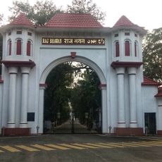
Hazaribagh Sadar block, Administrative block in Hazaribagh district, India

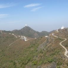
Hazaribagh Sadar block is an administrative area spanning multiple villages across the Chota Nagpur Plateau at an elevation of around 610 meters. The block comprises 80 villages, with 76 of them receiving electrical power and numerous water sources like hand pumps and wells serving residents' daily needs.

The area's name derives from Persian influences and translates to mean thousand gardens, reflecting early settlement and land use patterns. The administrative area underwent several reorganizations, notably since 1972 when modern administrative boundaries were established.

The main languages spoken here are Hindi, Khortha, and Urdu, reflecting the diverse community that calls this place home. Local people maintain distinct cultural practices tied to their different social backgrounds and histories.

The area is best explored by using local village roads and noting the availability of water and electricity present in most places. It is advisable to check local conditions before a visit since infrastructure development varies from village to village.

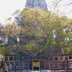
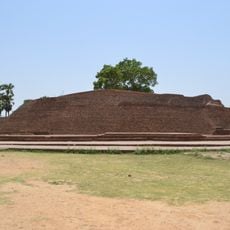
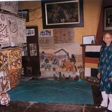
Ancient cave paintings dating from 9,000 to 5,000 BCE are found in this area, indicating very early human presence and artistic expression. Beyond these, megalithic structures older than 3,000 years further demonstrate a long history of continuous settlement.

The community of curious travelers

AroundUs brings together thousands of curated places, local tips, and hidden gems, enriched daily by 60,000 contributors worldwide.

Start exploring
GPS coordinates
24.02944,85.45722
Latest update
December 14, 2025 09:43
Reviews
Share your experience

No review yet

Discussions
Start a discussion...

No discussion yet

« Hazaribagh Sadar block - Administrative block in Hazaribagh district, India » is provided by Around Us (aroundus.com). Images and texts are derived from Wikimedia project under a Creative Commons license. You are allowed to copy, distribute, and modify copies of this page, under the conditions set by the license, as long as this note is clearly visible.

Discover hidden gems everywhere you go!

From secret cafés to breathtaking viewpoints, skip the crowded tourist spots and find places that match your style. Our app makes it easy with voice search, smart filtering, route optimization, and insider tips from travelers worldwide. Download now for the complete mobile experience.

Around Us App Screenshot

A unique approach to discovering new places

Le Figaro

All the places worth exploring

France Info

A tailor-made excursion in just a few clicks

20 Minutes

Around Us
Travel Guide & Maps
Download

Send to your phone

QR Code
1

Open the camera app on your mobile.

2

Point at the QR code with your camera. A notification will appear.

3

Tap the notification to open the link.