
Racherla mandal, mandal in Prakasam district of Andhra Pradesh, India
Location: Prakasam district
Capital city: Racherla
GPS coordinates: 15.46300,78.96600
Latest update: March 4, 2025 16:33
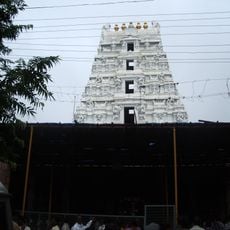
Mallikarjuna Temple
68.8 km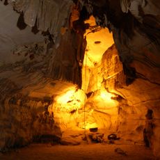
Belum Caves
100.2 km
Yaganti Temple
89.6 km
Alampur Jogulamba Temple
100.6 km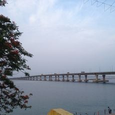
National Highway 16
116.4 km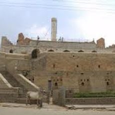
Konda Reddy Fort
106.6 km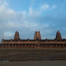
Sri Kodandrama Swamy Temple, Vontimitta
119.2 km
Chowdeshwari Temple at Nandavaram
74.3 km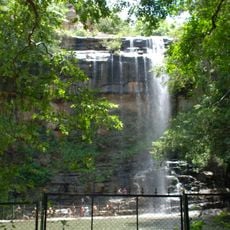
Mallela Theertham
90.2 km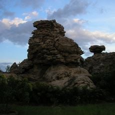
Orvakal Rock Garden, Kurnool
90.9 km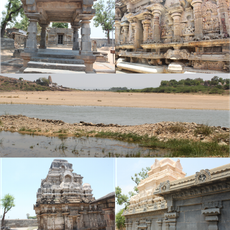
Pushpagiri Group of Temples
99.2 km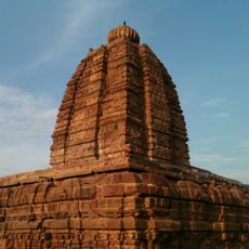
Alampur Navabrahma Temples
100.9 km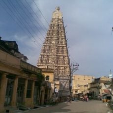
Sri Ranganathaswamy Temple
74.2 km
Galeru Nagari Sujala Sravanthi Project
106 km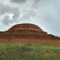
Chandavaram Buddhist site
72 km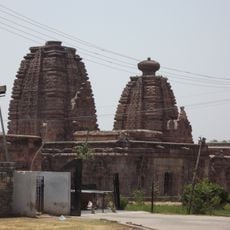
Alampur Papanasi Temples
101.2 km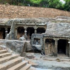
Bhairavakonda Caves
48.7 km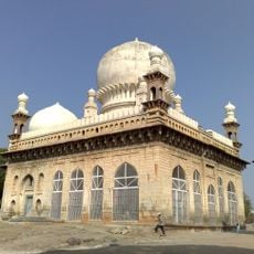
Abdul Wahab Khan's Tomb
106.6 km
Sri Lakshmi Narasimha Swamy Temple, Ahobilam
48.2 km
Yaganti Caves
89.6 km
Gandikota Fort
102.7 km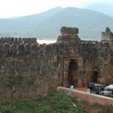
Siddavatam Fort
110.4 km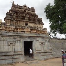
Bhimeshwara swamy temple
99.1 km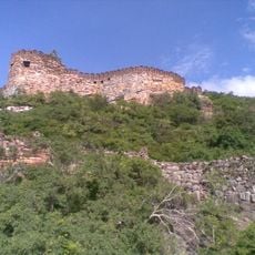
Udayagiri Fort
74.4 km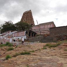
Vaidhyanadha swamy temple
99.1 km
Indranadheshwara swamy temple
98.5 km
Chennakesava Temple, Pushpagiri
99.2 km
Indranatha Temple, Pushpagiri
98.5 kmReviews
Visited this place? Tap the stars to rate it and share your experience / photos with the community! Try now! You can cancel it anytime.
Discover hidden gems everywhere you go!
From secret cafés to breathtaking viewpoints, skip the crowded tourist spots and find places that match your style. Our app makes it easy with voice search, smart filtering, route optimization, and insider tips from travelers worldwide. Download now for the complete mobile experience.

A unique approach to discovering new places❞
— Le Figaro
All the places worth exploring❞
— France Info
A tailor-made excursion in just a few clicks❞
— 20 Minutes