
Adibasi Para Banabibi Temple, temple in South 24 Parganas district of West Bengal, India
Location: Canning I community development block
GPS coordinates: 22.21590,88.62250
Latest update: March 31, 2025 05:16
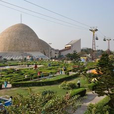
Science City
43 km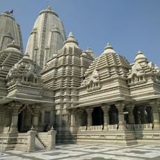
Birla Mandir
43.9 km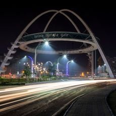
Biswa Bangla Gate
43.3 km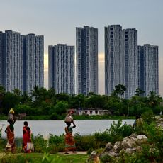
Urbana
39.4 km
Chintamoni Kar Bird Sanctuary
33 km
Birla Industrial & Technological Museum
44.4 km
Aquatica
41.8 km
Rabindra Sarobar Stadium
43.1 km
Ramakrishna Mission Institute of Culture
42.6 km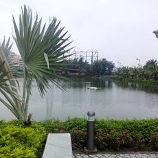
Benubana Chhaya
37.6 km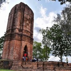
Jatar Deul
28.2 km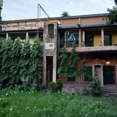
Sabarna Sangrahashala
43.5 km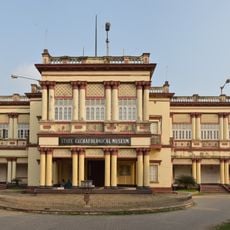
State Archaeological Museum
44.5 km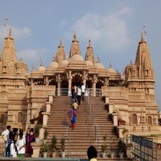
BAPS Shri Swaminarayan Mandir Kolkata
41.2 km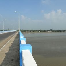
Matla Setu
11.6 km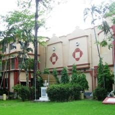
Gurusaday Museum
42.3 km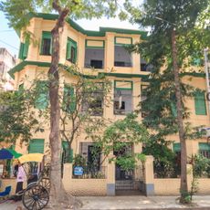
Experimenter Gallery
43.3 km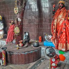
Chinese Kali Mandir
44 km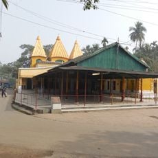
Dhanwantari Temple
21.4 km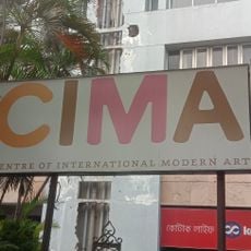
Centre of International Modern Art
44 km
Durga Exhibition Museum
42.5 km
Aayakar Bhawan Poorva
40.5 km
Maddox Square
44.2 km
Zohra Begum Mosque
43.3 km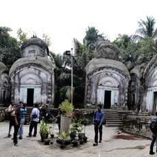
Kamarghat Dwadash Shiva temple
42.7 km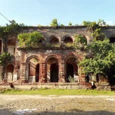
Kuthi of Port Canning Land, Investment, Reclamation and Dock Company
12.5 km
Jora Temple
27.2 km
Ancestral House of Bose family
29.7 kmReviews
Visited this place? Tap the stars to rate it and share your experience / photos with the community! Try now! You can cancel it anytime.
Discover hidden gems everywhere you go!
From secret cafés to breathtaking viewpoints, skip the crowded tourist spots and find places that match your style. Our app makes it easy with voice search, smart filtering, route optimization, and insider tips from travelers worldwide. Download now for the complete mobile experience.

A unique approach to discovering new places❞
— Le Figaro
All the places worth exploring❞
— France Info
A tailor-made excursion in just a few clicks❞
— 20 Minutes