Canning I community development block, Administrative block in Canning subdivision, India.
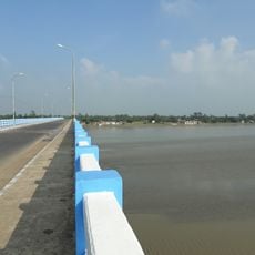
Canning I is an administrative block in West Bengal that covers a large area of mostly rural land with flat terrain. The block contains around 53 villages connected by local roads and ferry routes, with basic electricity and water infrastructure serving the residents.
The block was established in 1952 as part of India's first five-year plan for rural development. This administrative structure was created to help connect local communities with organized planning and resource management.
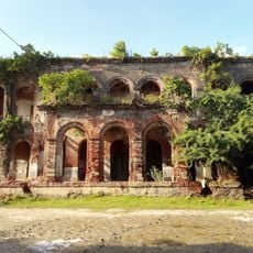
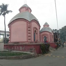
Hindu and Muslim communities live side by side throughout the region, with their different traditions shaping local daily life. You can see this cultural mix reflected in the festivals celebrated, the gathering places used by different groups, and the way neighborhoods are organized.
The area is fairly easy to navigate by regular bus and ferry services, keeping in mind that the flat landscape makes travel straightforward. Planning your journey around these transport options is important, since ferries may be the only way to reach some locations.
The block operates through a network of village councils where local officials work directly with communities on development projects. This decentralized system allows residents to have input on local matters rather than decisions being made from far away.
The community of curious travelers
AroundUs brings together thousands of curated places, local tips, and hidden gems, enriched daily by 60,000 contributors worldwide.