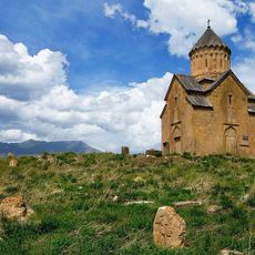
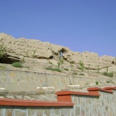
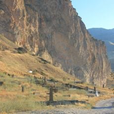
Avarayr Plain, Historic plain near Chors, Iran
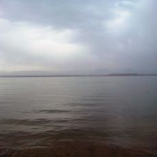
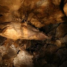
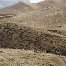
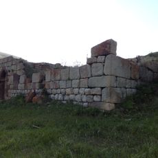
Avarayr Plain stretches along the Zangmar River in northwestern Iran, shaped by surrounding mountains and varied plant growth. The landscape alternates between open flat areas and slopes, creating a terrain that shifts from grassland to rocky sections.
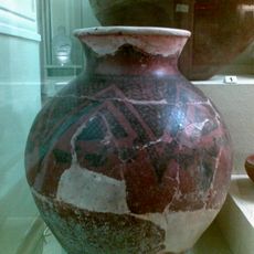
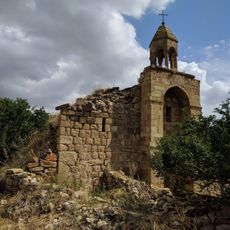
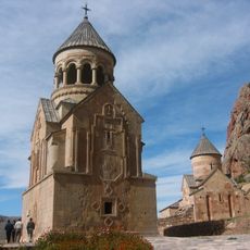
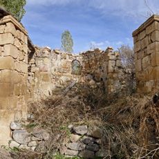
The plain was the site of a major conflict in 451 AD between Armenian forces and the Sassanid Empire. This confrontation established the location as a crucial boundary zone between two powerful realms.
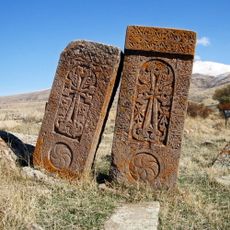
The local name carries Armenian roots, reflecting the region's long connection to Armenian communities and their passage through these lands over many centuries.
The plain is accessible through the nearby village of Chors and is most pleasant to explore during spring and autumn. These seasons offer moderate temperatures that make walking through the landscape comfortable.
The ancient course of the Tlmut River still leaves visible marks on the landscape that once defined political boundaries between kingdoms. These geographical traces quietly show how waterways shaped the borders of the region long ago.
The community of curious travelers
AroundUs brings together thousands of curated places, local tips, and hidden gems, enriched daily by 60,000 contributors worldwide.