Cesana Torinese, Italian comune
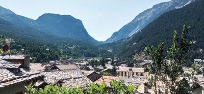
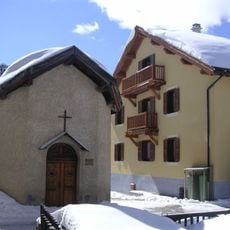
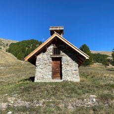
Cesana Torinese is a mountain village in the Turin region located above 1,350 meters (4,430 feet) near the French border. The place consists of stone buildings with colored shutters, quiet streets, and several smaller hamlets surrounded by farms and forests.
The village was founded in the Early Middle Ages and held strategic importance for trade and defense due to its high position. Its location made it a key passage point between Italy and France, where merchants and soldiers have traveled for centuries.
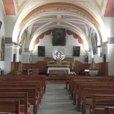
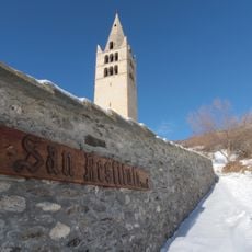
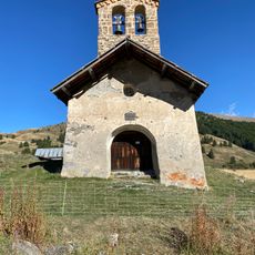
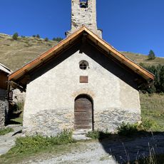
The town centers on the Church of San Giovanni Battista, where community life unfolds and local traditions bring people together. The stone buildings and traditional shops reflect how residents have maintained their simple and welcoming customs across generations.
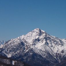
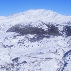
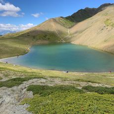
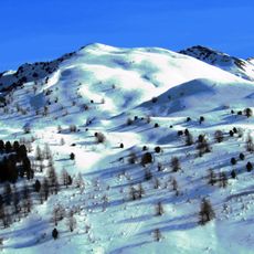
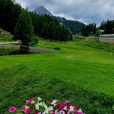
The village is easily reached from Turin and sits near several hiking trails and ski slopes for winter and summer sports. Visitors should dress warmly as the elevation brings cold temperatures, especially from November to April when snow is common.
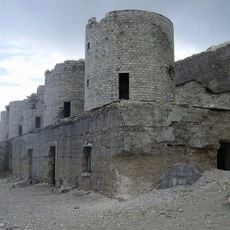
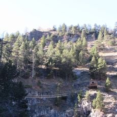
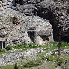
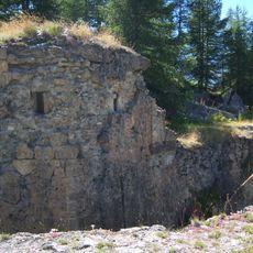
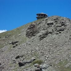
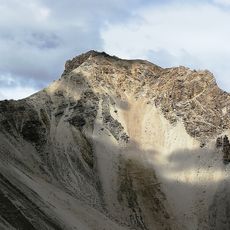
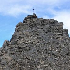
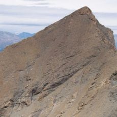
The village sits right on the border with France and is surrounded by dark green marble with white veins, visible in many local monuments and sculptures. The Batteria dello Chaberton, an old military installation on the mountain above the village, dates from another era and offers visitors unexpected views.
The community of curious travelers
AroundUs brings together thousands of curated places, local tips, and hidden gems, enriched daily by 60,000 contributors worldwide.