Ayas, Aosta Valley, Italian comune
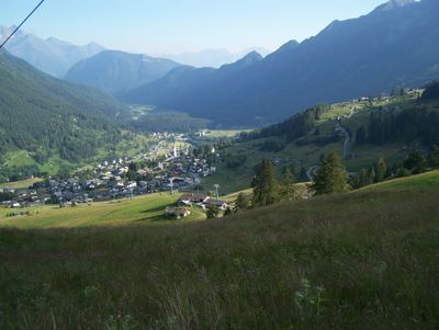
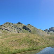
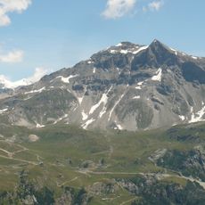
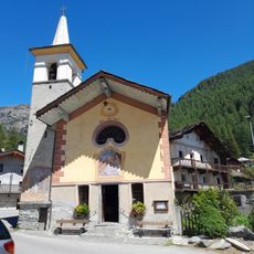
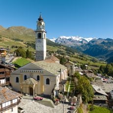
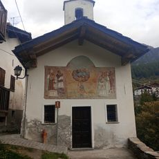
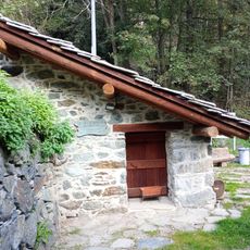
Ayas is a small municipality in the Aosta Valley, Italy, with simple stone houses and traditional mountain architecture spread across gentle slopes. The territory includes several villages like Antagnod, Champoluc, and Crest, each featuring old stone churches, a local museum displaying handcrafts, and traditional buildings with wooden balconies that reflect centuries of mountain dwelling.
Ayas developed as a mining region where gold and dark stone called pietra ollare were extracted, bringing historical economic importance to the area. The old Chamousira mine was once one of the most productive gold mines in the world, and visitors can still explore its underground tunnels on guided tours that reveal the tools and tracks left by past miners.
Ayas is known for the traditional craft of making wooden clogs called sabots, a skill passed down through local families for generations. This handmade tradition remains visible in the villages and museums, where visitors can see how mountain life has shaped the community's way of living and working.
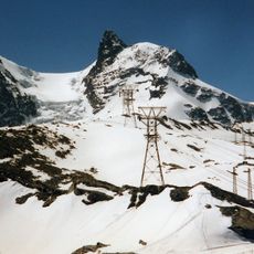
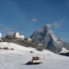
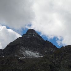
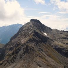
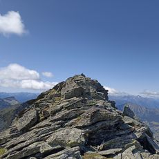
Visitors can explore the villages on foot through simple trails across green fields and forests, or join guided tours to the historic gold mine and old quarry sites. The warmer months offer the best conditions for hiking and walking, while winter brings skiing opportunities at Champoluc with extensive ski runs.
The film 'Le otto montagne' was shot in the region, telling the story of two friends in the mountains and bringing attention to the simple beauty of the mountain landscape. Visitors can follow the film locations on guided walks through the very villages and mountain scenes that appear in the movie.
The community of curious travelers
AroundUs brings together thousands of curated places, local tips, and hidden gems, enriched daily by 60,000 contributors worldwide.