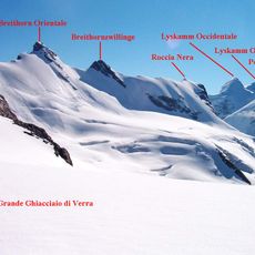
Roccia Nera, Peak in Pennine Alps, Switzerland and Italy
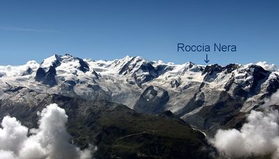
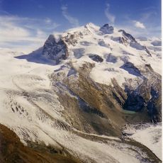
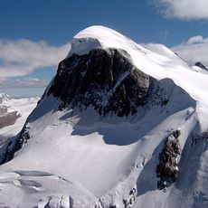
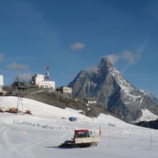
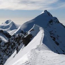
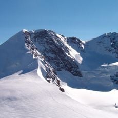
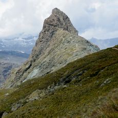
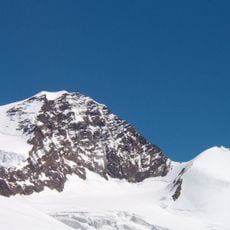
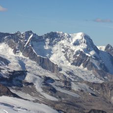
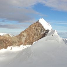
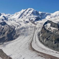
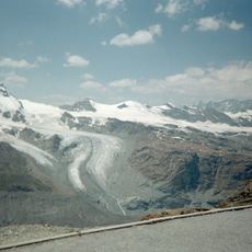
Roccia Nera is a summit in the Pennine Alps on the border between Switzerland and Italy, rising to 4,075 meters with a striking dark rock face that projects above the Porta Nera snow saddle. The mountain displays steep slopes and glaciated sections on both sides, forming part of the larger Breithorn massif.
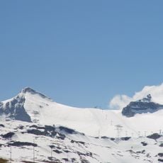
The peak marks the easternmost point of the Breithorn massif and has served as a natural border dividing the Swiss region of Valais from Italy's Aosta Valley for centuries. Mountaineers from both sides recognized this location early as a key position for crossing Alpine routes.
Local communities recognize this peak using different names across their languages: Roccia Nera in Italian, Roche Noire in French, and Schwarzfluh in German, all referring to the dark rock. These naming variations reflect the linguistic diversity of the border region and show how people perceive the distinctive dark stone face.
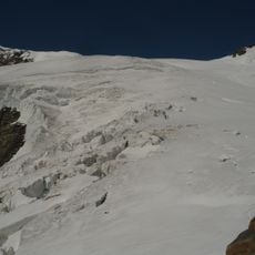
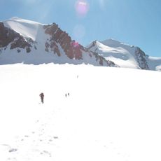
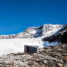
The best time to climb is during dry summer weeks when glacier conditions are stable and weather is favorable. Climbers should prepare for technical terrain and bring full mountaineering equipment, as conditions can change rapidly at this elevation.
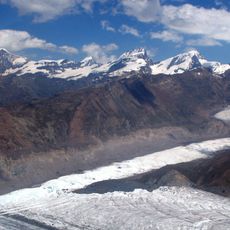
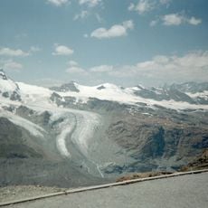
The summit connects two major glaciers: the Great Verra Glacier on the southern Italian side and the Schwarze Glacier on the northern Swiss side. This glacier combination makes the location geographically unique for observing how ice behaves across a national border.
The community of curious travelers
AroundUs brings together thousands of curated places, local tips, and hidden gems, enriched daily by 60,000 contributors worldwide.