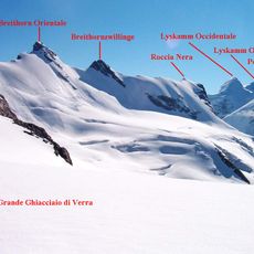
Grande Ghiacciaio di Verra, Alpine glacier in Val d'Ayas, Italy
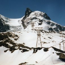
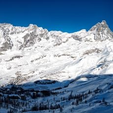
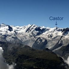
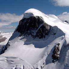
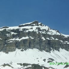
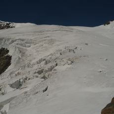
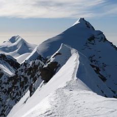
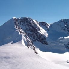
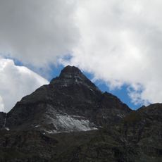
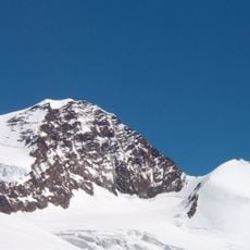
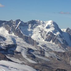
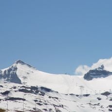
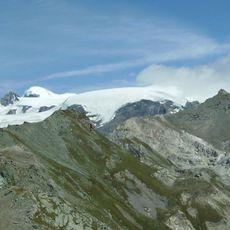
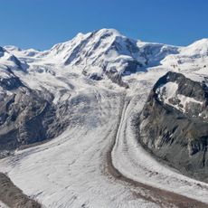
The Grande Ghiacciaio di Verra spreads across the southern flank of the Monte Rosa massif, framed by peaks such as Breithorn, Polluce, and Castore. This glacier occupies a high alpine landscape with steep terrain and rocky outcrops throughout.
The glacier's name comes from Piedmont-Sardinia kingdom records, where the final 'z' in Verraz remained silent according to Franco-Provençal language patterns. This linguistic feature reflects the mixed cultural heritage of the alpine region.
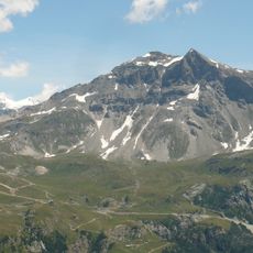
The glacier feeds the Evançon stream that flows through the valley and shapes the water resources here. Locals rely on this water source, which supports daily life and recreational activities in the surrounding area.
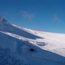
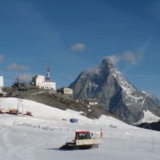
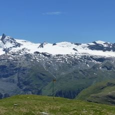
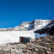
A marked path from Rifugio Mezzalama reaches the glacier in about twenty minutes, marked with yellow circles and small stone cairns for guidance. The route demands alpine experience and proper gear, especially when snow or ice covers the terrain.
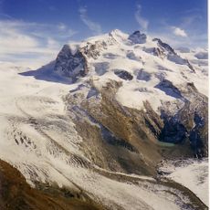
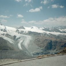
The glacier divides into two sections separated by a black rock spur from Rifugio Guide d'Ayas at Lambronecca. This rocky formation creates a visible boundary between the larger and smaller portions, making the terrain visibly distinctive.
The community of curious travelers
AroundUs brings together thousands of curated places, local tips, and hidden gems, enriched daily by 60,000 contributors worldwide.