Enable Location

We need your location to show you interesting places around you

Discover nearby places

Find interesting locations and hidden gems around you

Precise directions

Get accurate directions and distances to places

Your location is never shared with other users. It's only used when you tap the location button.

Eastern Breithorn

Log in to your account

Start exploring — it's free

Trusted by 62,127 travelers worldwide

Continue with Google
Continue with Apple
or

We will send you a code to connect

By continuing, you accept our Terms and Conditions and our Privacy Policy

Check your inbox

We've sent a pincode in your inbox. Please enter the code below.

Eastern Breithorn

Eastern Breithorn, Mountain summit in Valais, Switzerland and Italy

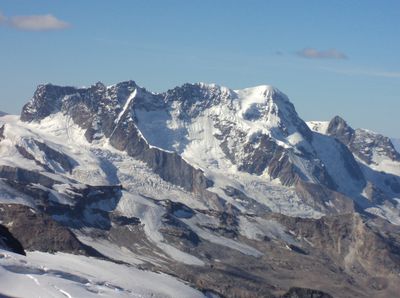
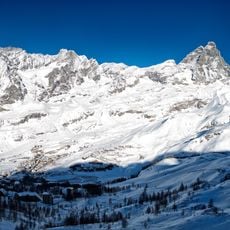
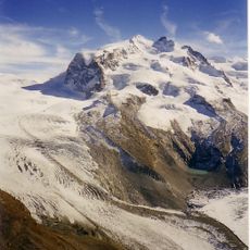
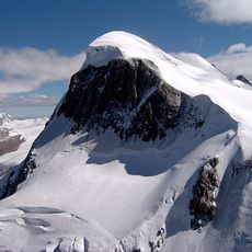
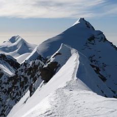
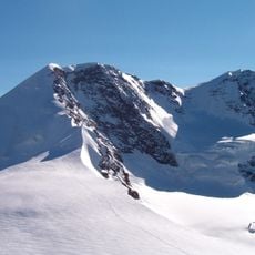
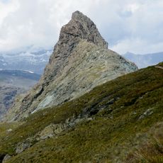
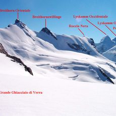
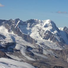
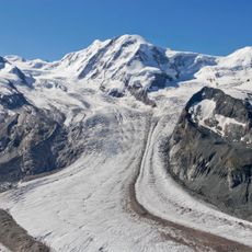
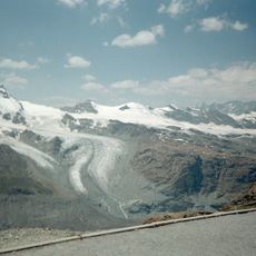
Eastern Breithorn is a summit in the Wallis region of the Pennine Alps, standing at 4,139 meters with steep slopes covered in glacial ice and rock. The peak forms part of a broader ridge system connecting several adjacent mountains and glaciated valleys.

The peak was first climbed in 1884 by J. Stafford-Anderson with mountain guides Ulrich Almer and Aloys Pollinger. This ascent marked an important moment in the mountaineering exploration of the Wallis region during the Alpine climbing boom of that era.

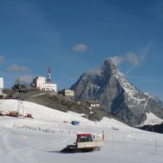
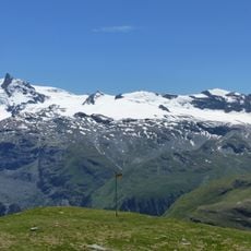
The mountain draws climbers from Switzerland and Italy who train on its slopes and glaciers, reinforcing connections between Alpine mountaineering traditions on both sides of the border. Visitors at the summit experience the meeting point of two distinct climbing cultures and their approaches to mountain exploration.

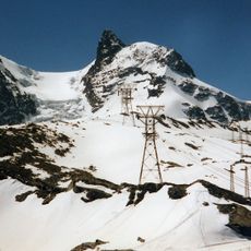
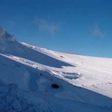
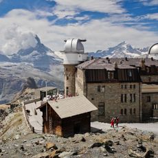
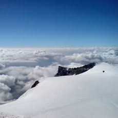
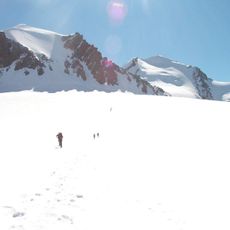
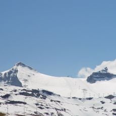
Climbers typically approach from Zermatt or Breuil-Cervinia, where cable cars help reach higher elevations before the final push to the summit. The route crosses glaciers and requires experience with snow and ice travel.

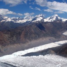
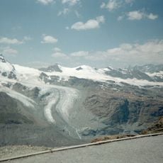
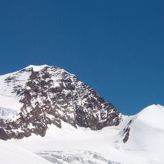
The north face drops steeply toward Breithorngletscher in a sheer wall roughly 650 meters tall, creating an imposing sight from below. On the opposite side, the southern slopes blend gradually into the expansive Verra Glacier network that extends across the Italian side.

The community of curious travelers

AroundUs brings together thousands of curated places, local tips, and hidden gems, enriched daily by 60,000 contributors worldwide.

Start exploring
Location
Elevation above the sea
4,139 m
GPS coordinates
45.93750,7.76711
Latest update
December 14, 2025 18:43
« Eastern Breithorn - Mountain summit in Valais, Switzerland and Italy » is provided by Around Us (aroundus.com). Images and texts are derived from Wikimedia project under a Creative Commons license. You are allowed to copy, distribute, and modify copies of this page, under the conditions set by the license, as long as this note is clearly visible.

Discover hidden gems everywhere you go!

From secret cafés to breathtaking viewpoints, skip the crowded tourist spots and find places that match your style. Our app makes it easy with voice search, smart filtering, route optimization, and insider tips from travelers worldwide. Download now for the complete mobile experience.

Around Us App Screenshot

A unique approach to discovering new places

Le Figaro

All the places worth exploring

France Info

A tailor-made excursion in just a few clicks

20 Minutes

Around Us
Travel Guide & Maps
Download

Send to your phone

QR Code
1

Open the camera app on your mobile.

2

Point at the QR code with your camera. A notification will appear.

3

Tap the notification to open the link.