Arcipelago di La Maddalena National Park

Log in to your account

AroundUs is a community-driven map of interesting places, built by curious explorers like you. It grows with every review, story, and photo you share.
Connect to save your favorite spots, contribute locations, and create personalized routes.
Continue with Google
Continue with Apple
Continue with X
Continue with Facebook
Continue with email
By continuing, you accept our Terms and Conditions and our Privacy Policy
Create an account

Arcipelago di La Maddalena National Park

Add to collection
Map
Suggest a change
Share

Arcipelago di La Maddalena National Park, Marine national park in Sardinia, Italy

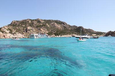
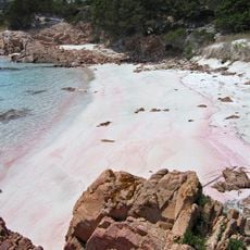
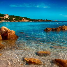
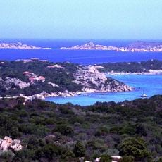
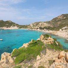
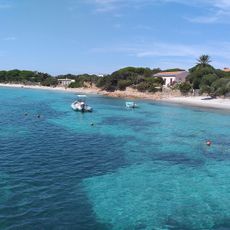
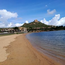
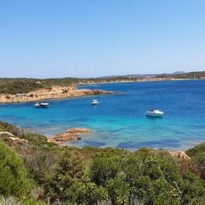
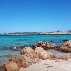
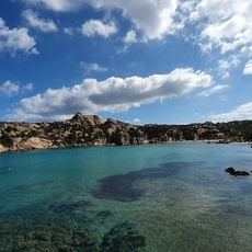
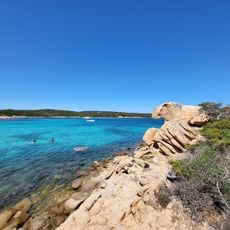
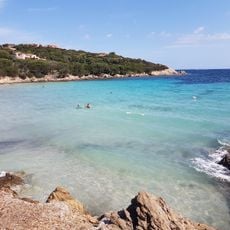
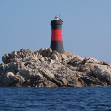
Arcipelago di La Maddalena is a marine protected area off northeastern Sardinia made up of seven main islands and numerous granite islets. The protected zone covers slightly over 12,000 hectares with clear waters and rocky coastlines surrounding each landmass.

The protected area was established in 1994 to preserve this geologically significant landscape. The islands formed when continental separation occurred thousands of years ago, creating the Bocche di Bonifacio strait between Sardinia and Corsica.

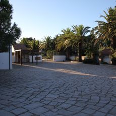
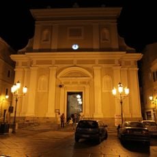
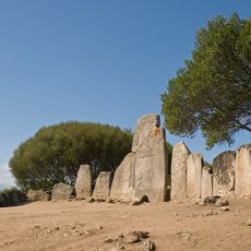
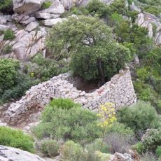
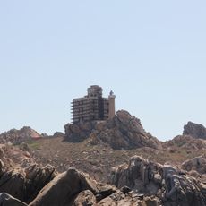
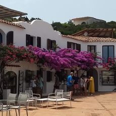
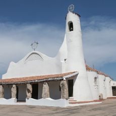
The islands hold deep meaning for local communities as a symbol of the sea and Sardinian identity. Visitors encounter fishing traditions and customs that have shaped life here for generations.

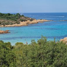
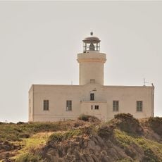
The archipelago is reached by ferry from the mainland, particularly from Palau, with regular departures throughout the day. Going early makes sense to enjoy the best hours on the water and explore the most visited islands in calmer conditions.

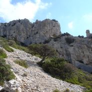
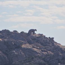
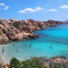
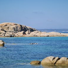
The granite rocks have developed unusual shapes over centuries as northern winds continuously carved into their surfaces. These wind-sculpted formations create surprising silhouettes that reveal themselves from different angles as you move around the islands by boat.

Location: Gallura Nord-Est Sardegna

Inception: 1994

Website: http://lamaddalenapark.it

GPS coordinates: 41.24580,9.41185

Latest update: December 6, 2025 17:40

Photos
Historical sites and natural places in Sardinia

Sardinia preserves evidence of over 3,000 years of human settlement. Nuragic towers from the Bronze Age rise across plains and hills, while rock-cut tombs recall prehistoric communities. Roman temples stand beside Byzantine churches, and medieval basilicas mark coastal towns. The landscape forms...

Hidden locations across Sardinia

Sardinia preserves traces of human settlement across thousands of years. The island presents prehistoric cult sites including sacred wells and burial mounds that show ancient rituals. Nuraghe towers from the Bronze Age still rise above the landscape, while Roman theaters and Punic temples mark later...

Reviews

Visited this place? Tap the stars to rate it and share your experience / photos with the community! Try now! You can cancel it anytime.

« Arcipelago di La Maddalena National Park - Marine national park in Sardinia, Italy » is provided by Around Us (aroundus.com). Images and texts are derived from Wikimedia project under a Creative Commons license. You are allowed to copy, distribute, and modify copies of this page, under the conditions set by the license, as long as this note is clearly visible.

Discover hidden gems everywhere you go!

From secret cafés to breathtaking viewpoints, skip the crowded tourist spots and find places that match your style. Our app makes it easy with voice search, smart filtering, route optimization, and insider tips from travelers worldwide. Download now for the complete mobile experience.

Around Us App Screenshot

A unique approach to discovering new places

Le Figaro

All the places worth exploring

France Info

A tailor-made excursion in just a few clicks

20 Minutes