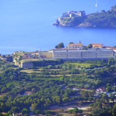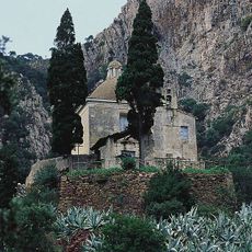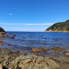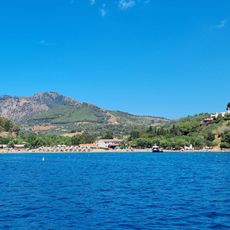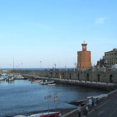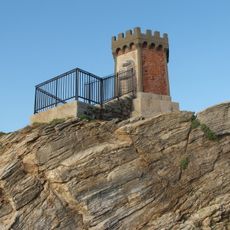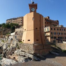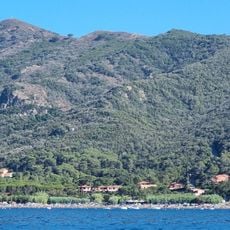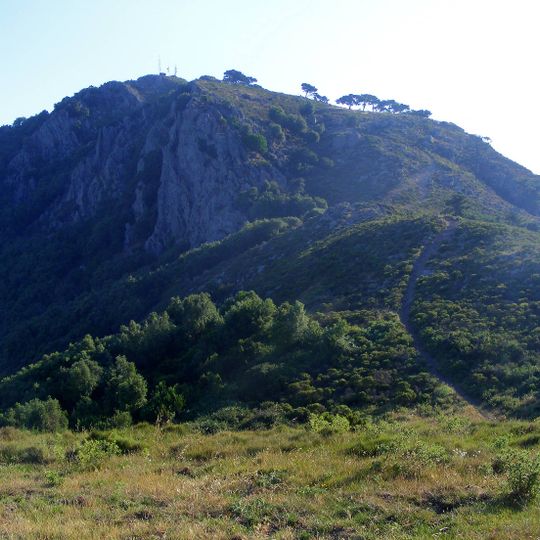
Cima del Monte, Mountain peak near Porto Azzurro, Italy.
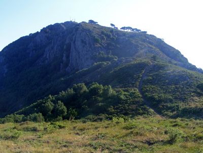
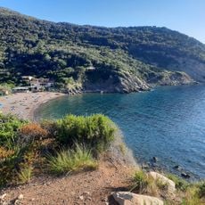
Cima del Monte is a 516-metre relief on Elba where the municipalities of Portoferraio, Rio and Porto Azzurro meet, within the Arcipelago Toscano National Park. Three main ridges descend from the summit: north toward Monte Capannello, south to Monte Castello, and southeast to the sea. The western slope is wooded, the eastern one drier and bare, with telecom antennas near the top.
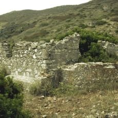
Originally called Monte delle Viste, the relief was renamed Cima del Monte. On its plateau lie the remains of a Bronze Age settlement of the Subappennine culture, linked to the site at Volterraio below, identified by fragments of coarse impasto pottery. In 1936 soldiers of the 88th Infantry Regiment "Friuli" came up from Portoferraio for military exercises, firing Breda Mod. 30 machine guns at human silhouettes placed on the ridges above.
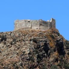
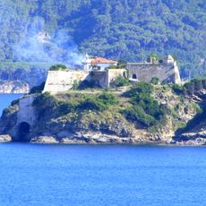
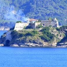
The mountain was originally called Monte delle Viste, a name that recalls the wide views from its slopes. Goat herds graze on the mountain, and near the summit stand antennas and telecommunications equipment. The rocky spur holding the Volterraio fortress lies a short distance from the top.
The climb is steep and requires suitable hiking gear and sturdy footwear. Shade is scarce along the way, so starting early and bringing water and sun protection are important.
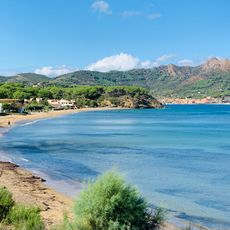
From the top you can see both the northern and eastern coasts of Elba and on clear days the Italian mainland across the water. This wide view makes the summit popular with photographers.
The community of curious travelers
AroundUs brings together thousands of curated places, local tips, and hidden gems, enriched daily by 94,658 contributors worldwide.