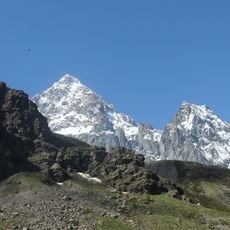
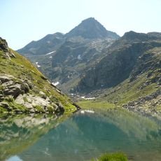
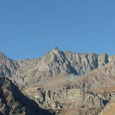
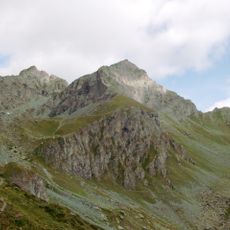
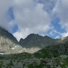
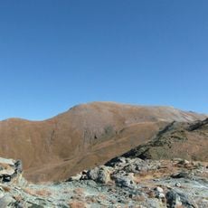
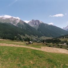
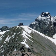
Punta Venezia, Mountain summit in the Cottian Alps, Italy.
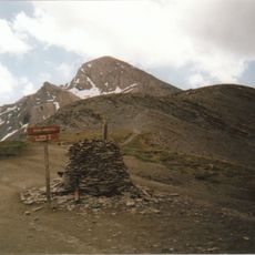
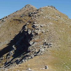
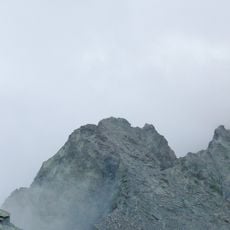
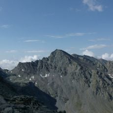
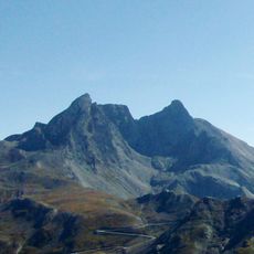
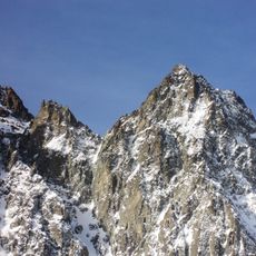
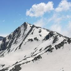
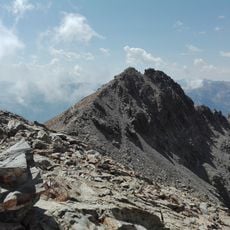
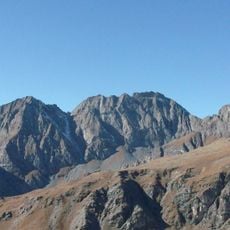
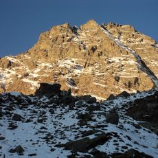
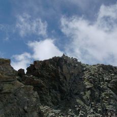
Pointe de Venise is a 3,095 m summit on the northern ridge of the Monviso group, on the France–Italy border between the Colle del Coulour del Porco to the south and the Colle del Coulour Bianco to the north. Its eastern, Italian side is a steep vertical or subvertical wall, while the western, French side is a slope of roughly constant incline covered in rock debris. The rock consists of effusive eruptive types such as prasinites, amphibolites and eclogites.
The first recorded ascent is unknown, but the summit was reached by the surveyors who produced the mid-19th-century map of the Kingdom of Sardinia. The name Punta Venezia was given by Professor Valbusa in 1903. The south-east face route Via dei Torrioni was first climbed by Ugo Griva and Eraldo Quero in 1974, with the first winter ascent by Eraldo Quero in 1975.
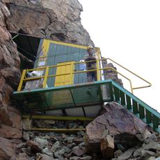
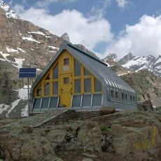
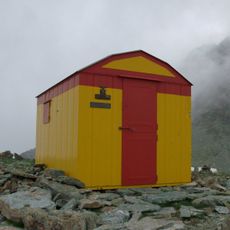
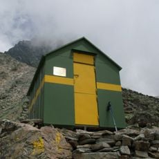
The name Punta Venezia was given to the mountain by Professor Valbusa in 1903. Near the summit, at 3,080 m, a small bivouac occupies an old military structure, a metal hut with a barrel roof and two bunks with blankets, restored by the Cavour section of the CAI in 1991 and marked by a wooden plaque; it stays open.
Access to the summit is best achieved through established trails starting from nearby mountain huts during the summer season. Visitors should prepare for steep terrain and changing weather conditions at this elevation.
Just below the summit, at 3,080 m on a saddle, stands the Bivacco di Punta Venezia, a metal hut with a barrel roof and wooden lining converted from an old military structure. It holds two bunks with blankets, was restored by the Cavour section of the CAI in 1991, and stays open; a wooden plaque on the facade records the work.
The community of curious travelers
AroundUs brings together thousands of curated places, local tips, and hidden gems, enriched daily by 93,847 contributors worldwide.