Hakodate, Port settlement in southern Hokkaido, Japan.
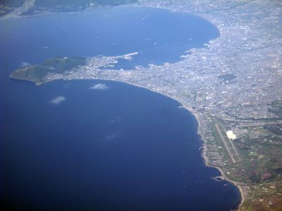
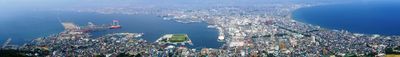
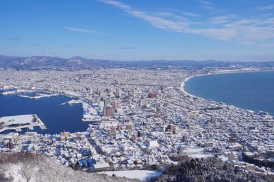
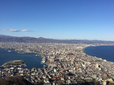
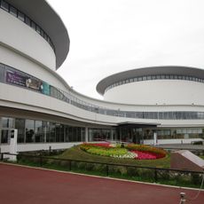
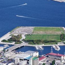
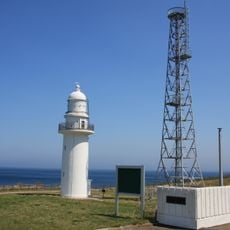
Hakodate is a port settlement in southern Hokkaido located on a narrow peninsula that joins the mainland to a forested hill, forming a natural bay between two bodies of water. The settlement stretches along the coastline, with several historic neighborhoods running up the slopes while the modern train station and business districts sit near the harbor.
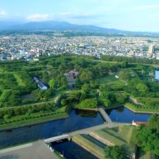
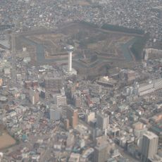
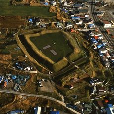
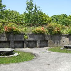
The settlement opened as one of the first Japanese ports to foreign ships after the 1854 treaty, bringing Russian, British, and American traders to its shores. During the Boshin War, the star-shaped fort served as the last stronghold of Tokugawa forces before they surrendered to imperial troops in 1869.
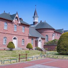
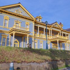
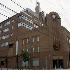
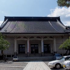
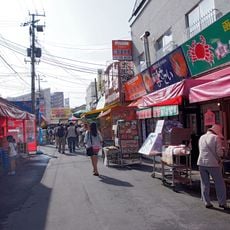
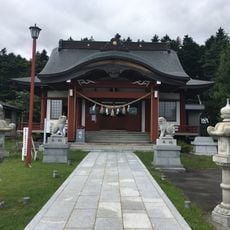
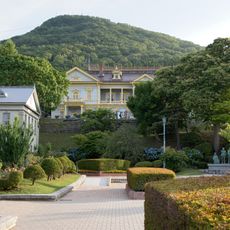
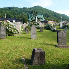
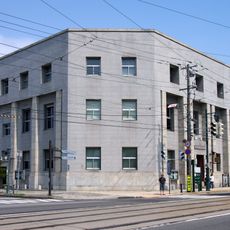
The waterfront shows a mix of red-brick warehouses and Western-style wooden buildings left from the foreign settlement era, now housing shops, restaurants, and galleries. Orthodox, Catholic, and Anglican churches line the streets in the Motomachi district, reflecting the city's long connection with European and American communities.
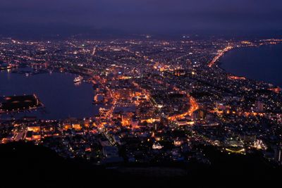
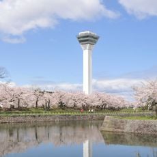
The summit of the mountain can be reached by cable car or hiking trails that take between 30 and 60 minutes to climb, with the view best appreciated after dark. Most museums and sights sit within walking distance of the harbor, though streetcars run several times an hour between major areas.
French missionary Father Mermet spent over 40 years building the Catholic community in the late 19th century, and many of his personal items remain on display in the old residence next to the church. The public bathhouses across the city draw their hot water from natural underground springs scattered along the coast and through residential neighborhoods.
The community of curious travelers
AroundUs brings together thousands of curated places, local tips, and hidden gems, enriched daily by 60,000 contributors worldwide.