Enable Location

We need your location to show you interesting places around you

Discover nearby places

Find interesting locations and hidden gems around you

Precise directions

Get accurate directions and distances to places

Your location is never shared with other users. It's only used when you tap the location button.

Uruma

Log in to your account

Start exploring — it's free

Trusted by 62,818 travelers worldwide

Continue with Google
Continue with Apple
or

We will send you a code to connect

By continuing, you accept our Terms and Conditions and our Privacy Policy

Check your inbox

We've sent a pincode in your inbox. Please enter the code below.

Uruma, Coastal municipality in Okinawa Prefecture, Japan

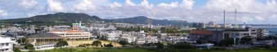
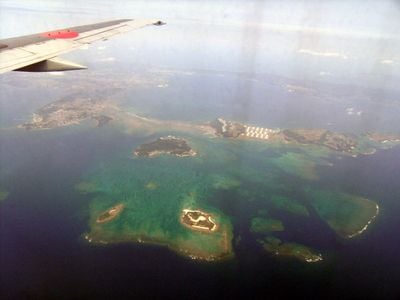
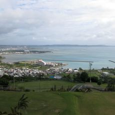
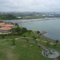
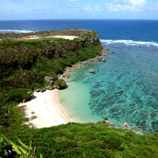
Uruma is a coastal town in central eastern Okinawa main island, covering the Katsuren Peninsula and eight smaller islands of the Yokatsu group. The area extends across bays, beaches and farming land that open toward the open sea.

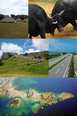
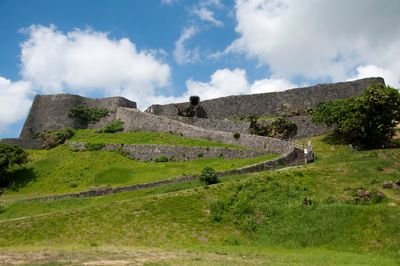
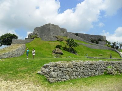
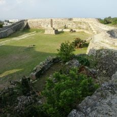
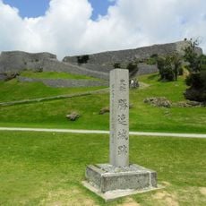
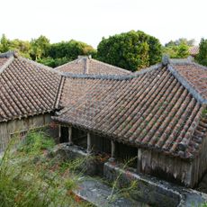
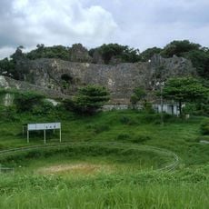
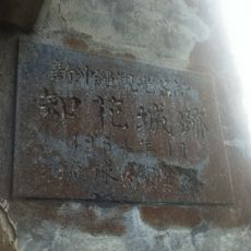
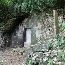
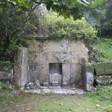
The region was part of the Ryukyu Kingdom during medieval times and hosted fortresses like Katsuren that monitored trade routes and coastal areas. After annexation by Japan in the 19th century, the zone developed into an agricultural and maritime center.

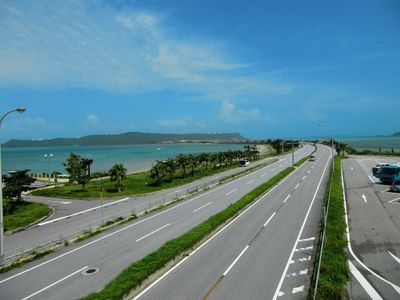
The Kaichu Doro causeway crosses the open water to inhabited islands and shows the daily life of families who have lived from fishing for generations. Fishers return with fresh catches while visitors can watch from the quays.

The town is best explored by rental car, which can be picked up at Naha Airport and reaches the area in less than an hour. Public buses also run but take considerably longer for the journey.

On the small island of Tsuken, carrots with a particular taste grow that are known throughout the country and whose cultivation goes back to the mineral-rich soil. The island can be reached by a short ferry ride from the mainland.

The community of curious travelers

AroundUs brings together thousands of curated places, local tips, and hidden gems, enriched daily by 60,000 contributors worldwide.

Start exploring
Inception
April 1, 2005
Elevation above the sea
204 m
Reference
472131
Shares border with
Onna, Kin, Okinawa
GPS coordinates
26.37917,127.85742
Latest update
December 13, 2025 18:04
« Uruma - Coastal municipality in Okinawa Prefecture, Japan » is provided by Around Us (aroundus.com). Images and texts are derived from Wikimedia project under a Creative Commons license. You are allowed to copy, distribute, and modify copies of this page, under the conditions set by the license, as long as this note is clearly visible.

Discover hidden gems everywhere you go!

From secret cafés to breathtaking viewpoints, skip the crowded tourist spots and find places that match your style. Our app makes it easy with voice search, smart filtering, route optimization, and insider tips from travelers worldwide. Download now for the complete mobile experience.

Around Us App Screenshot

A unique approach to discovering new places

Le Figaro

All the places worth exploring

France Info

A tailor-made excursion in just a few clicks

20 Minutes

Around Us
Travel Guide & Maps
Download

Send to your phone

QR Code
1

Open the camera app on your mobile.

2

Point at the QR code with your camera. A notification will appear.

3

Tap the notification to open the link.