Mount Zaō, Volcanic mountain range between Miyagi and Yamagata Prefecture, Japan
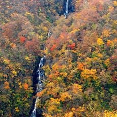
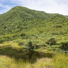
Zaō is a volcanic massif on the border between two prefectures in northern Japan, made up of several cones and lava domes. On the central peak lies a round crater lake with turquoise blue water, surrounded by steep walls of ash and rock.
The range is a complex of stratovolcanoes built on the uplifted Ōu Mountains, with activity in three zones: central Zaō around Okama, northwestern Taki-yama and southern Byōbu-dake. The central zone has been the focus in recorded times; the oldest written record is an eruption in 1230 noted in the Azuma Kagami. Okama formed during activity between 1625 and 1694, and the last steam eruption with ashfall came on 16 April 1940 at Tori-jigoku, northeast of the lake.
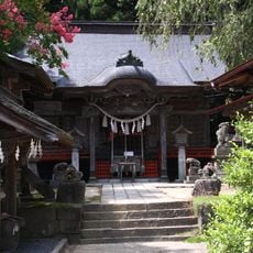
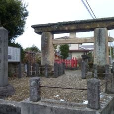
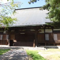
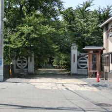
The name Zaō comes from Zaō Gongen, the deity enshrined on these peaks. From the mid-Edo period, pilgrims climbed to the summits of Kumano-dake and Katta-dake on "Oyama-mairi" visits. Katta Ridge Shrine stands on the Katta-dake summit as the okumiya, with a paired satomiya at the foot; the two are linked by seasonal transfer of the deity. Kumano-dake has Zaō-san Shrine.
The approach is via cable cars or hiking trails, with different equipment needed depending on the chosen route. In winter, one should wear warm clothing and non-slip boots, as snow and ice cover the paths.
The crater lake changes its color between green, gray and blue depending on the light and acidity of the water. In the cold season, trees transform into white sculptures through freezing water, rising like ghosts from the snow.
The community of curious travelers
AroundUs brings together thousands of curated places, local tips, and hidden gems, enriched daily by 93,467 contributors worldwide.