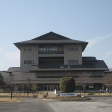
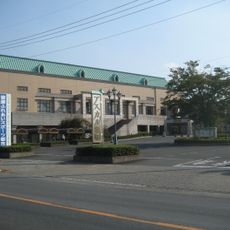
Kitakatsushika district, Administrative district in Saitama Prefecture, Japan
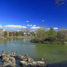
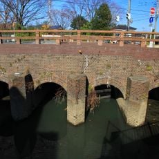
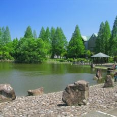
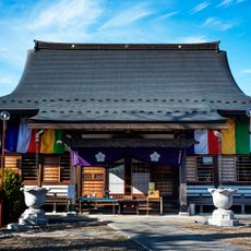
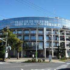
Kitakatsushika is a district in Saitama Prefecture comprised of two towns: Matsubushi and Sugito. Both towns together form a settled region with local shops, schools, and residential neighborhoods that shape everyday life for people living here.
The district was established in 1879 during Japan's Meiji modernization reforms when the country reorganized its administrative divisions. This restructuring allowed better local governance and brought the two towns under a unified administrative framework.
The district maintains traditional Japanese administrative structures while adapting to modern governance needs through its two constituent towns.
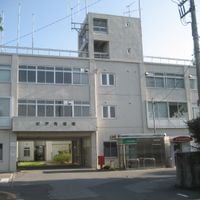
The region is best explored using public transportation or a car, as the two towns are connected by local roads. Municipal offices in each town can help visitors with directions and information about local facilities.
The district's location at coordinates 36°0'36.0"N and 139°46'8.4"E positions it within the fertile agricultural lands of the Kantō region.
The community of curious travelers
AroundUs brings together thousands of curated places, local tips, and hidden gems, enriched daily by 60,000 contributors worldwide.