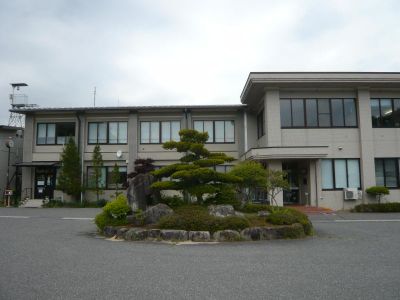
Urugi, village in Shimoina district, Nagano prefecture, Japan
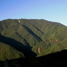
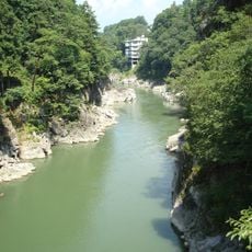
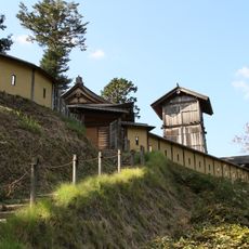
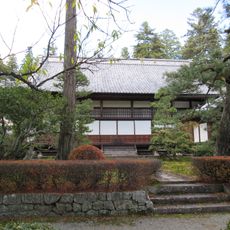
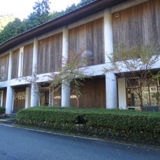
Urugi is a small village in Shimoina district, Nagano prefecture, nestled in a mountain valley where rivers flow through a basin. Wooden houses with traditional gabled roofs are scattered along narrow roads, with the settlement spanning roughly half a mile across at an elevation of around 1,000 meters.
The village formed in the middle of the 20th century when smaller communities merged in 1948, establishing its current boundaries. The region was formerly part of ancient Shinano Province and has been historically shaped by agriculture and forestry traditions.
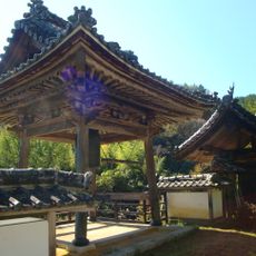
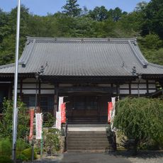
The village name Urugi reflects the deep connection between residents and the surrounding rivers and mountains that shape daily life. Community traditions remain visible through seasonal festivals and local customs that bring neighbors together throughout the year.
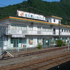
The village has no train stations, so visiting requires travel by car or bus via national highways. Most daily supplies come from local farmers or small nearby shops, while larger purchases require trips to neighboring towns.
The village has relied for generations on harvesting shiitake mushrooms and scallions alongside traditional rice farming as key sources of income. These crops thrive in the humid mountain air and have shaped the local economy for decades.
The community of curious travelers
AroundUs brings together thousands of curated places, local tips, and hidden gems, enriched daily by 60,000 contributors worldwide.