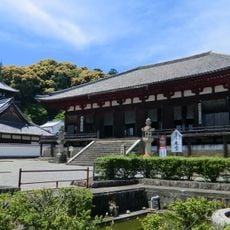
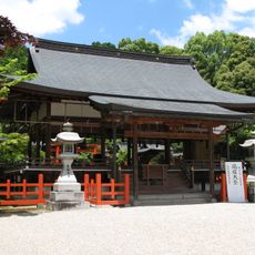
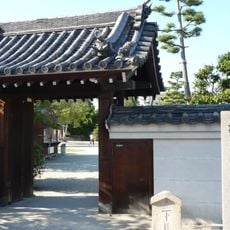
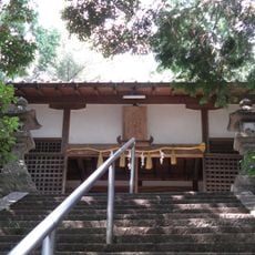
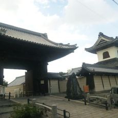
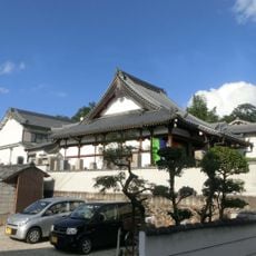
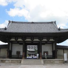
Kanmaki, town in Kitakatsuragi district, Nara prefecture, Japan
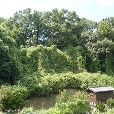
Kanmaki is a small town located in Nara Prefecture within the Kitakatsuragi district, positioned in the western part of the Nara Basin. The town covers roughly 6 square kilometers and sits approximately 20 kilometers northeast of Nara city and around 25 kilometers from Osaka.
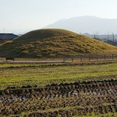
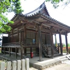
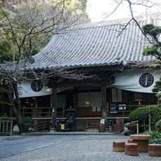
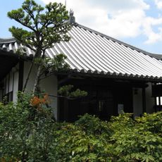
The town was officially established as Kanmaki on April 1, 1889, and gained town status in December 1972. Historically, the area served as a river port and shoe-making center, playing an important economic role in trade with Osaka during earlier periods.
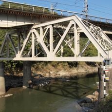
The town has no train station of its own; the nearest station is Shizumi on the JR West Wakayama Line. Both residents and visitors rely on cars and buses for travel, with the Nishi-Meihan Expressway providing good highway access.
The town's official symbols are the Lilium flower and the Maki tree, reflecting the local natural surroundings. These symbols reveal how the place preserves its connection to the environment in its identity.
The community of curious travelers
AroundUs brings together thousands of curated places, local tips, and hidden gems, enriched daily by 60,000 contributors worldwide.