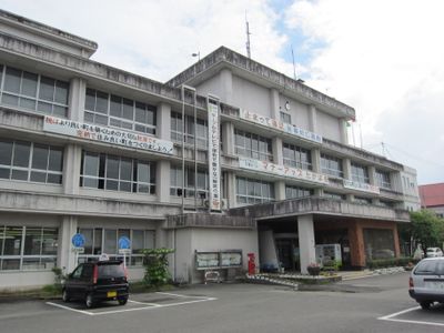
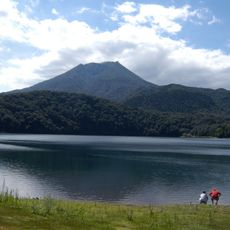
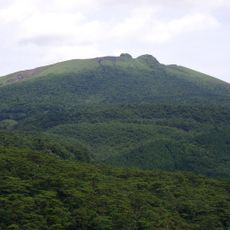
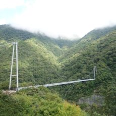
Takaharu, town in Nishimorokata district, Miyazaki prefecture, Japan
Location: Miyazaki Prefecture
Location: Nishimorokata district
Inception: May 1, 1889
Website: https://www.town.takaharu.lg.jp/
Shares border with: Kirishima, Miyakonojō, Kobayashi
Website: https://town.takaharu.lg.jp
GPS coordinates: 31.92836,131.00786
Latest update: March 11, 2025 10:20
Kirishima Shrine
15 km
Mount Karakuni
13.8 km
Mount Takachiho
9.6 km
Shinmoedake
11.7 km
Aya Teruha Suspension Bridge
20.9 km
Kirishima Onsen
17.1 km
Ebino VLF transmitter
23.6 km
陰陽石
9.8 km
Sekinoo Falls
18.7 km
Aya Castle
24.3 km
Ohachi
10.4 km
Mount Io
14.7 km
Miyako Castle
24 km
Miyakonojo City Library
23.8 km
Inukai Falls
25.7 km
Amaga Castle
27.3 km
Hinamori Dake
9.6 km
Kirishima International Concert Hall
19.9 km
Mount Koshiki
14.6 km
Shiratori Yama
16.3 km
Miyakonojō History Museum
24 km
Miyakonojō City Museum of Art
23.9 km
Mochio-Sekinoo Prefectural Natural Park
18.6 km
霧島市立木原小中学校
22.6 km
Kanbashira Park
22.8 km
Imamachi Ichirizuka
28 km
Maruo Falls
17.1 km
Ebino Eco-Museum Center
15.6 kmReviews
Visited this place? Tap the stars to rate it and share your experience / photos with the community! Try now! You can cancel it anytime.
Discover hidden gems everywhere you go!
From secret cafés to breathtaking viewpoints, skip the crowded tourist spots and find places that match your style. Our app makes it easy with voice search, smart filtering, route optimization, and insider tips from travelers worldwide. Download now for the complete mobile experience.
A unique approach to discovering new places❞
— Le Figaro
All the places worth exploring❞
— France Info
A tailor-made excursion in just a few clicks❞
— 20 Minutes