Enable Location

We need your location to show you interesting places around you

Discover nearby places

Find interesting locations and hidden gems around you

Precise directions

Get accurate directions and distances to places

Your location is never shared with other users. It's only used when you tap the location button.

Mount Karakuni

Log in to your account

Start exploring — it's free

Trusted by 62,788 travelers worldwide

Continue with Google
Continue with Apple
or

We will send you a code to connect

By continuing, you accept our Terms and Conditions and our Privacy Policy

Check your inbox

We've sent a pincode in your inbox. Please enter the code below.

Mount Karakuni

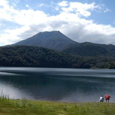
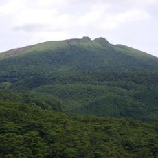
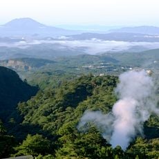
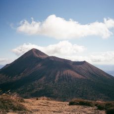
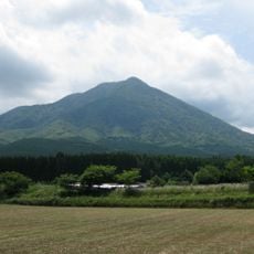
Mount Karakuni, Volcanic summit in Kirishima, Japan.

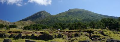
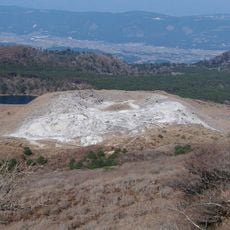
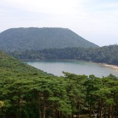
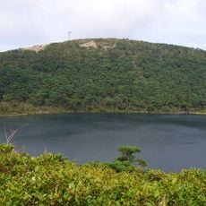
Mount Karakuni stands at 1,700 meters as the highest peak of the Kirishima mountain range on Kyushu Island in Japan. Its volcanic crater spans roughly 900 meters across and drops about 300 meters deep.

The volcano has been active since at least 788, with major eruptions recorded in 1716 and 1717. This long history shows it has been a significant volcanic force in the region for over a thousand years.

The name Karakuni means Korea Peak, stemming from ancient beliefs that the Korean Peninsula was visible from this height. This naming reflects how the mountain shaped regional geography and local understanding of distant lands.

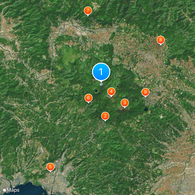
The hike from Ebino Plateau visitor center to the summit takes about three hours with adequate rest breaks along the way. The trail is well-marked and visitors should use the stops to adjust to the elevation gain.

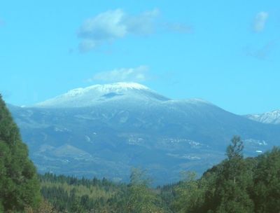
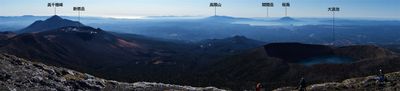
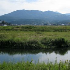
On clear days, visitors can see the neighboring Shinmoedake volcano, which remains periodically active. This proximity reveals how two major volcanic forces shape the landscape in this mountainous corner of Kyushu.

The community of curious travelers

AroundUs brings together thousands of curated places, local tips, and hidden gems, enriched daily by 60,000 contributors worldwide.

Start exploring
Location
Location
Location
Elevation above the sea
1,700 m
GPS coordinates
31.93421,130.86156
Latest update
December 17, 2025 09:08
« Mount Karakuni - Volcanic summit in Kirishima, Japan » is provided by Around Us (aroundus.com). Images and texts are derived from Wikimedia project under a Creative Commons license. You are allowed to copy, distribute, and modify copies of this page, under the conditions set by the license, as long as this note is clearly visible.

Discover hidden gems everywhere you go!

From secret cafés to breathtaking viewpoints, skip the crowded tourist spots and find places that match your style. Our app makes it easy with voice search, smart filtering, route optimization, and insider tips from travelers worldwide. Download now for the complete mobile experience.

Around Us App Screenshot

A unique approach to discovering new places

Le Figaro

All the places worth exploring

France Info

A tailor-made excursion in just a few clicks

20 Minutes

Around Us
Travel Guide & Maps
Download

Send to your phone

QR Code
1

Open the camera app on your mobile.

2

Point at the QR code with your camera. A notification will appear.

3

Tap the notification to open the link.