Takinoue, town in Monbetsu district, Hokkaidō, Japan
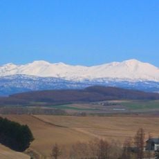
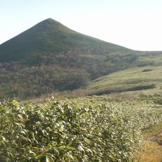
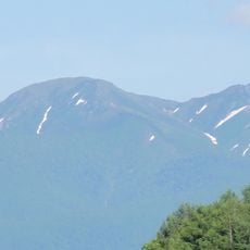
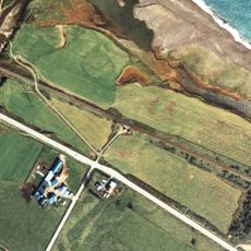
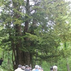
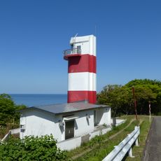
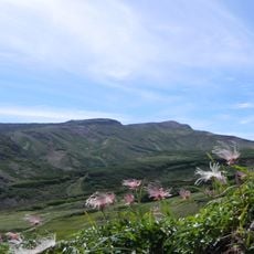
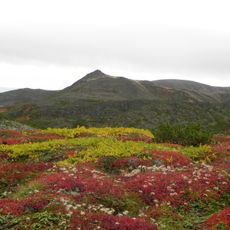
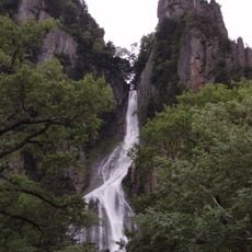
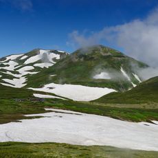
Takinoue is a small town in the Monbetsu district of Okhotsk Subprefecture, Hokkaido, set among forested valleys, river gorges, and highland wetlands. The area contains several parks with seasonal flower displays, a river gorge with waterfalls, and a wetland with floating peat islands.
Takinoue developed as a rural settlement shaped by farming and forestry in the river valley. In 1956, villagers began growing moss phlox from a small batch of seeds and gradually expanded the fields into a seasonal attraction.
Takinoue is best known for its moss phlox fields, which turn the hillsides pink each spring and draw visitors from across Hokkaido. The town follows the rhythm of the seasons, and the blooming period is treated as a local event that shapes life in the area for weeks.
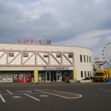
The town is easiest to explore by car, as several attractions are spread across the surrounding countryside and are not always served by local buses. A roadside station near the town center offers maps, local products, and a good starting point for planning the day.
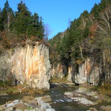
The river gorge near the town was the first place in Japan to introduce catch-and-release fishing rules to protect the local fish. A man named Buichi Takahashi spent decades building a private park with around 800 flower varieties, which visitors can still walk through today.
The community of curious travelers
AroundUs brings together thousands of curated places, local tips, and hidden gems, enriched daily by 60,000 contributors worldwide.