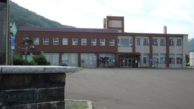
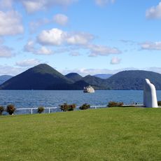
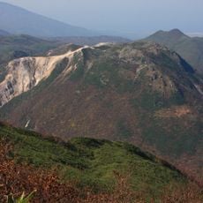
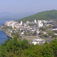
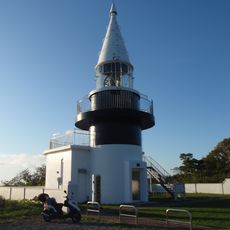
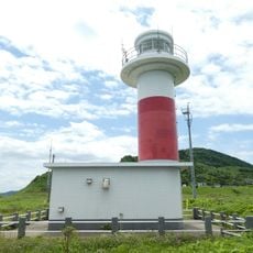
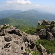
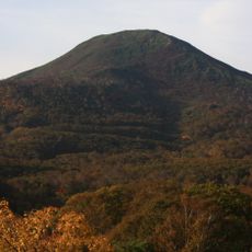
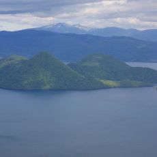
Shimamaki, village in Shimamaki district, Hokkaido, Japan
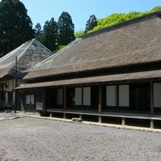
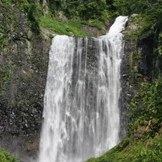
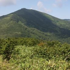
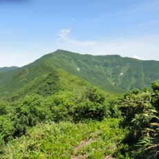
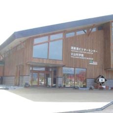
Shimamaki is a small village in the northern part of Hokkaido, surrounded by forests and mountains that create a quiet and natural setting. The village has simple houses and narrow roads, with Garo Falls being one of the main sights, easily accessed from a free parking area.
The village has a long history as a quiet place where people have lived for many generations. Early settlers came to enjoy the land and build small homes, with this simple way of life largely preserved to the present day.
The name Shimamaki refers to the island location and forest landscape of the area. Visitors can observe traditional ways of life by watching local farmers work in fields or fishermen prepare boats at the small harbor.
Visitors can reach the falls via a well-kept and easy-to-follow path from the parking area, with the route offering forest views. It is advisable to dress appropriately, especially if you plan to hike or walk around, particularly during the colder months.
The area is known for maintaining small but stable communities where visitors can genuinely feel connected to nature in ways often lost in larger destinations. The region experiences seasonal changes that dramatically affect the landscape, particularly when the forest thickens in summer and waterfall cascades become more powerful after rainfall.
The community of curious travelers
AroundUs brings together thousands of curated places, local tips, and hidden gems, enriched daily by 60,000 contributors worldwide.