Kuromatsunai, town in Suttsu district, Hokkaido, Japan
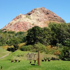
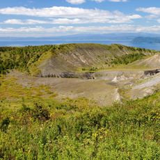
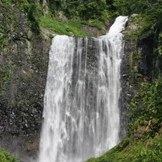
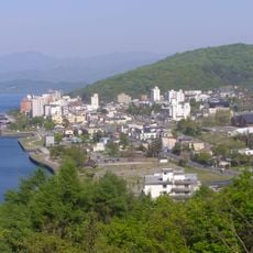
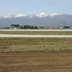
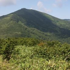
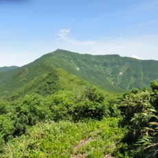
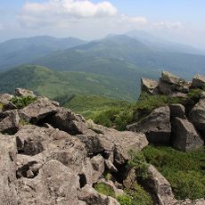
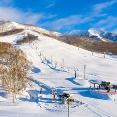
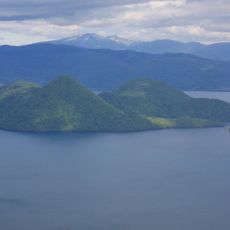
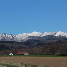
Kuromatsunai is a small town in southern Hokkaido situated in the region's lowland area. It is surrounded by mountains, hills, wetlands, and rivers, and sits less than 30 kilometers from both the Sea of Japan and the Pacific Ocean.
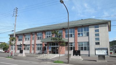
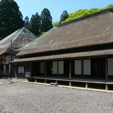
The town was formed through the merging of smaller villages and officially recognized as a town in the late 1950s. This change improved local services and strengthened connections to other parts of Hokkaido.
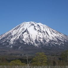
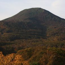
The name Kuromatsunai comes from the Ainu language and refers to the pine forests of the region. The beech forest areas shape daily life and are protected as an important part of local identity by residents who take pride in preserving them.
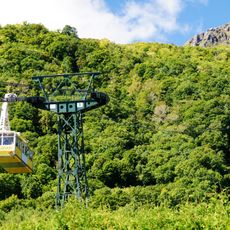
The town is accessible by train at Kuromatsunai Station on the Hakodate Main Line, which connects to larger cities nearby. Well-maintained roads and buses make it easy for visitors to explore the area on foot, by bicycle, or car.
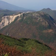
This location marks the northern limit of Japan's beech forests, where Siebold's beech trees grow naturally. Local residents have protected this forest from being cut down twice, demonstrating their commitment to preserving this natural heritage.
The community of curious travelers
AroundUs brings together thousands of curated places, local tips, and hidden gems, enriched daily by 60,000 contributors worldwide.