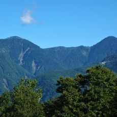
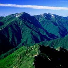
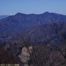
Mount Tekari, Mountain in Shizuoka and Nagano Prefectures, Japan.
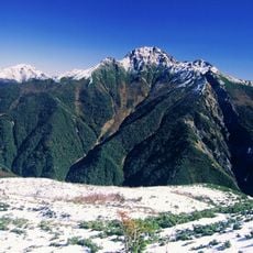
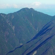
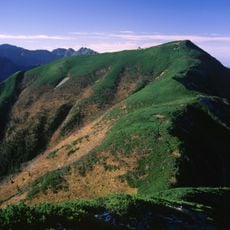
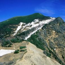
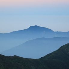
Mount Tekari is a 2,592 m peak on the main ridge of the Akaishi Mountains, on the border of Shizuoka and Nagano Prefectures. Its summit rises just above the tree line, and the upper slopes lie within Minami Alps National Park. The summit is forested and offers little view.
The name Tekari-dake was given by a surveyor of the Land Survey Department in the Meiji era, after the limestone rock peak Tekari-iwa below the summit, which glows white in the evening sun when seen from the Enshu side. Earlier the mountain was called Misumi-dake, as recorded in the Ikawa village history. In summer 1952 Fukada Kyuya climbed it from Iroudo with a friend.
The name comes from Hikari-iwa, a limestone rock peak southwest of the summit that appears white in evening sunlight when seen from the Enshu side; a Meiji-era surveyor of the Land Survey Department named the mountain. Climbers still use the name Mitsumi-dake, recorded in Ikawa village history. Near Hikari-iwa grow colonies of Chonosukesou and the Southern Alps endemic Miyama-murasaki.
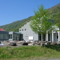
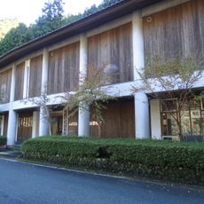
The hut east of the summit is Tekari-dake Lodge (光小屋), built in 1966 and rebuilt in 1998 as a two-storey building; meals are served only to groups of three or fewer, all aged 50 or over, who register by 3 p.m. Outside the season part of it stays open as an emergency shelter. Camping is allowed only at the designated site, and the summit itself is wooded with little view.
The summit area lies just above the tree line, and the Siberian dwarf pine (haimatsu) growing there marks the southernmost natural stand of the species anywhere in the world. The peak is also the southern limit of the rock ptarmigan's range in Japan.
The community of curious travelers
AroundUs brings together thousands of curated places, local tips, and hidden gems, enriched daily by 93,171 contributors worldwide.