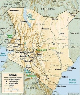
Geography of Kenya, Geographic landscape in Eastern Africa
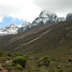
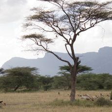
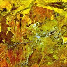
This territory in Eastern Africa stretches from the Indian Ocean through central highlands to Lake Victoria. The terrain includes coastal plains, mountainous regions, grasslands, and arid northern zones with visible traces of the Rift Valley.
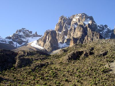
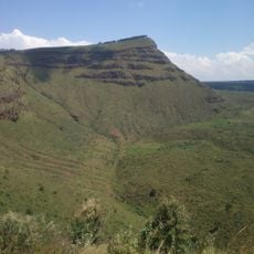
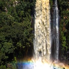
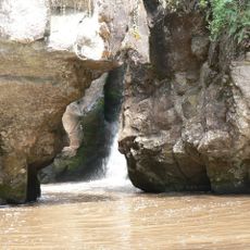
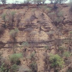
Tectonic movements over millions of years created the Rift Valley, forming deep trenches and volcanic peaks across the region. These geological processes shaped the current landscape with its distinct elevation changes and basins.
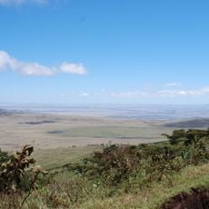
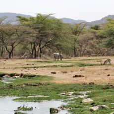
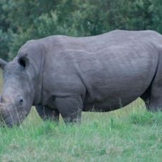
The landscape shapes how people live and work across different regions of the country. Coastal communities rely on the ocean for fishing and trade, while mountain inhabitants practice crop farming and livestock keeping.
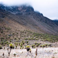
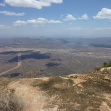
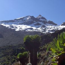
Five major catchment areas in the central highlands provide water for rivers flowing in different directions across the country. These zones include Mount Kenya, the Aberdare Range, the Mau Forest Complex, the Cherangani Hills, and Mount Elgon.
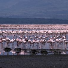
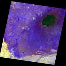
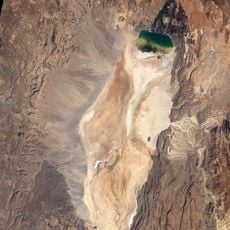
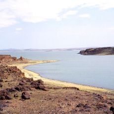
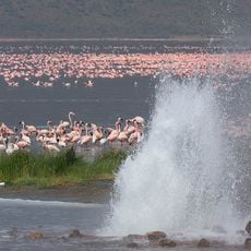
The Chalbi Desert near Lake Turkana turns into a temporary lake during heavy rains. This rare natural event in the north attracts migratory birds and transforms the desert landscape for a brief period.
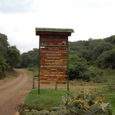
The community of curious travelers
AroundUs brings together thousands of curated places, local tips, and hidden gems, enriched daily by 60,000 contributors worldwide.