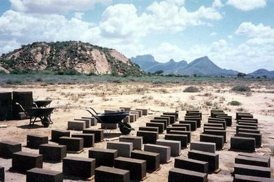
Samburu County, Administrative county in northern Kenya
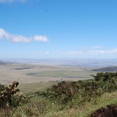
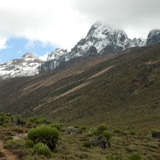
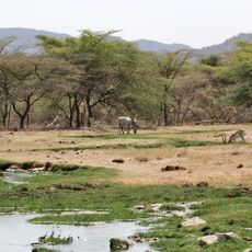
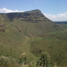
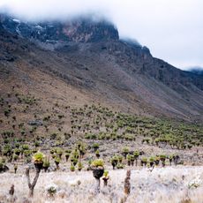
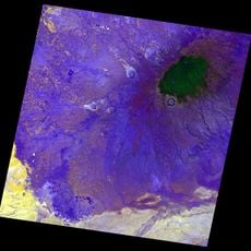
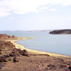
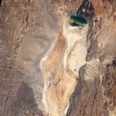
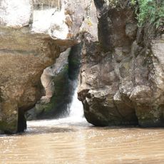
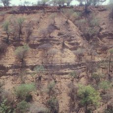
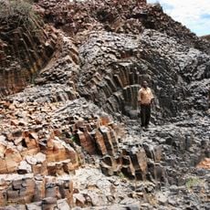
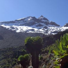
Samburu County is an administrative county in northern Kenya stretching from the Wuaso Ng'iro River toward Lake Turkana, encompassing diverse terrain. Three mountain ranges—Mount Ng'iro, the Ndoto Mountains, and the Mathews Range—divide the county into distinct ecological zones with varying landscapes.
The county received its current administrative structure in 2013 as part of Kenya's shift to devolved government. This reorganization created new local governance for the region and its communities.
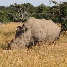
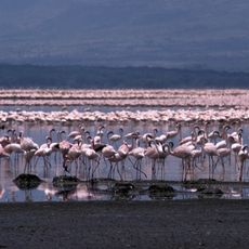
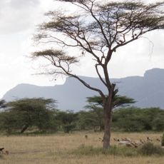
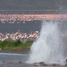
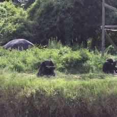
Pastoral communities here, particularly the Samburu and Turkana peoples, maintain livestock herding traditions that shape how they interact with the land daily. You can observe these practices directly in the reserves where traditional lifeways continue unchanged.
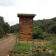
The A4 road is the main access route through the county, connecting the towns of Rumuruti, Maralal, and Baragoi. Having your own transportation helps you explore the national reserves and varied terrain at your own pace.
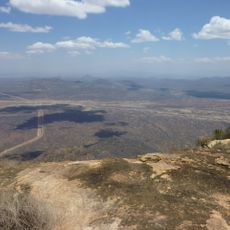
Three separate mountain massifs run through the county, each creating its own distinct climate and wildlife habitat. This geographic variety packed into one region offers unusual diversity for nature observation.
The community of curious travelers
AroundUs brings together thousands of curated places, local tips, and hidden gems, enriched daily by 60,000 contributors worldwide.