Chest opened
+${chestReward.xp} XP
Explorer
NOUVEAU ×${chestReward.collectible.quantity}
tapez pour fermer
Chest locked

Open chests in the app

Around Us is built for your phone — chests unlock when you walk, explore and capture nearby places.

Enable Location

We need your location to show you interesting places around you

Discover nearby places

Find interesting locations and hidden gems around you

Precise directions

Get accurate directions and distances to places

Your location is never shared with other users. It's only used when you tap the location button.

Imjin River

Log in to your account

Start exploring — it's free

Trusted by 72,980 travelers worldwide

Continue with Google
Continue with Apple
or

We will send you a code to connect

By continuing, you accept our Terms and Conditions and our Privacy Policy

Check your inbox

We've sent a pincode in your inbox. Please enter the code below.

Imjin River
Discussion Reviews 1 Photos
14.6k Popularity

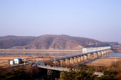
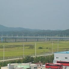
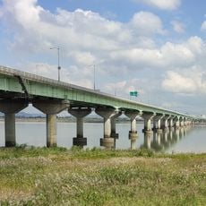
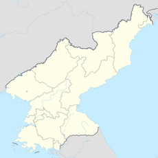
Imjin River, River boundary between North and South Korea

The Imjin River is a waterway forming the border between North and South Korea, flowing for roughly 270 kilometers from its source. It originates in Turyu Mountain to the north and eventually merges with the Han River near Seoul.

The river became a critical battlefield during the Korean War, with international forces defending its banks in 1951 against invading armies. This struggle shaped the borderline and established the division that remains to this day.

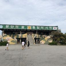
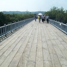
The river's name carries deep meaning in Korean culture, representing division and the hope for reunification that resonates across the peninsula. You can sense this emotional connection at viewing stations on the South Korean side, where visitors often pause to reflect on the river as a symbol of separation.

Water levels rise significantly during July and August due to heavy rainfall, making the river treacherous during these months. Visitors should stay away from the riverbank during this period and view the water only from safe observation points on the South Korean side.

During winter months, thick ice forms on the surface, creating large ice sheets that accumulate against obstacles in the channel. This frozen landscape looks completely different from the open water seen in warmer seasons.

The community of curious travelers

AroundUs brings together thousands of curated places, local tips, and hidden gems, enriched daily by 60,000 contributors worldwide.

Start exploring
GPS coordinates
37.79000,126.66000
Latest update
December 7, 2025 20:21
Reviews
Share your experience

No review yet

Discussions
Start a discussion...

No discussion yet

« Imjin River - River boundary between North and South Korea » is provided by Around Us (aroundus.com). Images and texts are derived from Wikimedia project under a Creative Commons license. You are allowed to copy, distribute, and modify copies of this page, under the conditions set by the license, as long as this note is clearly visible.

Discover hidden gems everywhere you go!

From secret cafés to breathtaking viewpoints, skip the crowded tourist spots and find places that match your style. Our app makes it easy with voice search, smart filtering, route optimization, and insider tips from travelers worldwide. Download now for the complete mobile experience.

Around Us App Screenshot

A unique approach to discovering new places

Le Figaro

All the places worth exploring

France Info

A tailor-made excursion in just a few clicks

20 Minutes

Around Us
Travel Guide & Maps
Download

Send to your phone

QR Code
1

Open the camera app on your mobile.

2

Point at the QR code with your camera. A notification will appear.

3

Tap the notification to open the link.